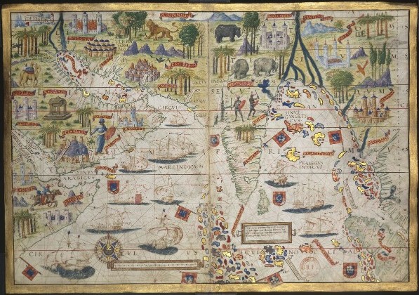

AtlasMiller BNF OceanoIndico
Map of the Atlas Miller showing the Indian Ocean.
- Date
- c. 1519
- Mapmaker / publisher
- Unsigned. Attributed to Lopo Homem, Jorge Reinel, Pedro Reinel and Antonio de Holanda
- Place
- Asia
- Archive
- Wikimedia Commons
- Type
- atlas page
- Original size
- 597 × 420 pixels
Public domainsafest
Reason: its maker died more than 70 years ago, and a faithful scan of a flat work adds no new copyright.
Read from: Commons licence category: PD-Art (PD-old-70); no CC BY, CC BY-SA, GFDL or deletion tag on the file page.
Credit line
"AtlasMiller BNF OceanoIndico" (c. 1519). Unsigned. Attributed to Lopo Homem, Jorge Reinel, Pedro Reinel and Antonio de Holanda, via Wikimedia Commons. Public domain. https://commons.wikimedia.org/wiki/File:AtlasMiller_BNF_OceanoIndico.jpgNeed maps for a whole project? Add Find Any Map to Claude and ask for this one by its id: 141083.
More like this

Atlas nautique du Monde Baptista Agnese Januensis fecit Venetijs anno domini 1543 die 25 juny
1543 · Plate 8 of 21

Atlas nautique portugais
1558 · Asia, plate 7 of 16

AtlasMiller BNF Madagascar
c. 1519 · Wikimedia Commons

Portolan atlas of 9 charts and a world map, etc. Dedicated to Hieronymus Ruffault, Abbot of St. Vaast
1544 · Plate 7

Martines Atlas 1591 (10 of 14) North Indian Ocean
1591 · Wikimedia Commons

Carte de l'Océan Indien (Fac-similé manuscrit)
1843 · Plate 1 of 2
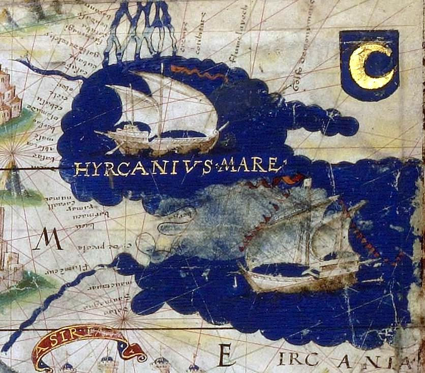
AtlasMiller BNF Euromed MarCaspio
c. 1519 · Wikimedia Commons

Carte de l'Océan Indien / Joao Teixeira
1649 · Plate 1 of 2