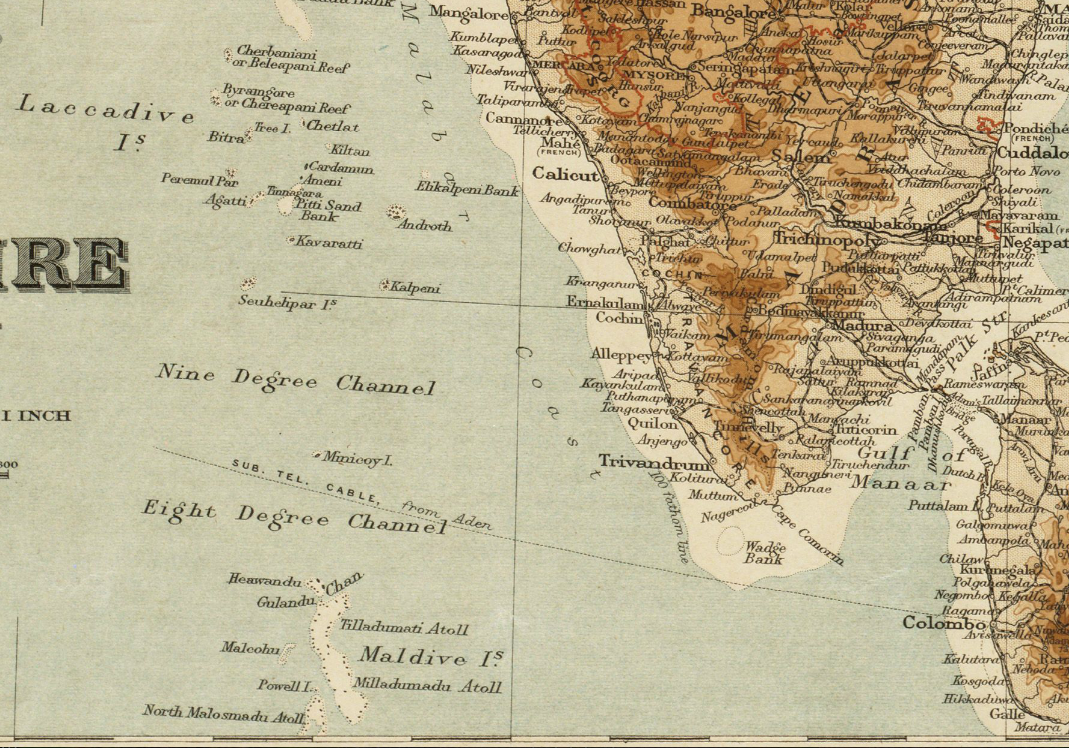

1920 Maldives map BPL 12595 detail
Detail of map: The Indian Empire and Ceylon Publisher: Edward Stanford Ltd. Date: 1920 Scale: 1:7,500,000
- Date
- 1920
- Mapmaker / publisher
- Edward Stanford Ltd
- Place
- India
- Archive
- Wikimedia Commons
- Type
- map
- Original size
- 1,069 × 748 pixels
Public domain
Reason: its maker died long enough ago that the copyright has expired.
This status rests on the map's publication history, as researched by Wikimedia Commons. Check it before commercial use.
Read from: Commons licence category: PD Old; no CC BY, CC BY-SA, GFDL or deletion tag on the file page.
Credit line
"1920 Maldives map BPL 12595 detail" (1920). Edward Stanford Ltd, via Wikimedia Commons. Public domain. https://commons.wikimedia.org/wiki/File:1920_Maldives_map_BPL_12595_detail.pngNeed maps for a whole project? Add Find Any Map to Claude and ask for this one by its id: 255768.
More like this

18th-century Maldives map by Pierre Mortier
c. 1700 · Wikimedia Commons

Trigonometrical Survey of the Maldive Islands / by Commander R.Moresby and Lieutt. F.T. Powell, Indian Navy. 1835
1838 · 3 sheets

Map of Ceylon and the Maldives
c. 1705 · Wikimedia Commons

1598 Middleburg Bertius Maldives map latin
1602 · Wikimedia Commons

Map of British India and surrounding countries, published in the 'Imperial Gazetteer of India' (Vol. XXVI, Atlas; 1931 revised edition; plate no. 2)
1931 · Wikimedia Commons

Maldive Islands, administrative divisions.
1968 · Library of Congress

Maldivische eylanden, Mallabaar, Madure, Ceylon
Wikimedia Commons

Ceylon (ca 1914)
1914 · Wikimedia Commons