

1598 Middleburg Bertius Maldives map latin
Antique map of Maldives produced by Bertius in the Year 1589AD. Issued in MiddleBurg Netherlands, for the Dutch VOC. This version was Published in 1602 in latin.
- Date
- 1602
- Place
- the Maldives
- Archive
- Wikimedia Commons
- Type
- map
- Original size
- 652 × 462 pixels
Public domainsafest
Reason: its maker died more than 100 years ago.
Read from: Commons licence category: PD-old-100-expired; no CC BY, CC BY-SA, GFDL or deletion tag on the file page.
Credit line
"1598 Middleburg Bertius Maldives map latin" (1602). Wikimedia Commons. Public domain. https://commons.wikimedia.org/wiki/File:1598_Middleburg_Bertius_Maldives_map_latin.jpgNeed maps for a whole project? Add Find Any Map to Claude and ask for this one by its id: 240010.
More like this

1753 Van Keulen Maldives Map
1753 · Wikimedia Commons

17th century India Map from BERTIUS ATLAS MAPS
Wikimedia Commons
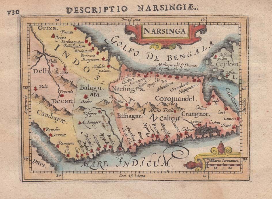
1616 Map of India by Petrus Bertius
1616 · Wikimedia Commons

18th-century Maldives map by Pierre Mortier
c. 1700 · Wikimedia Commons

A horizontal Malabar Coast miniature map by Abraham Ortelius, Antwerp, c.1580
1580 · India
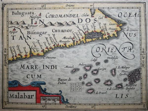
A horizontal Malabar Coast miniature, a reprint by Petrus Bertius, 1630
1630 · Wikimedia Commons

Deliniantur in hac tabula
1596 · Wikimedia Commons
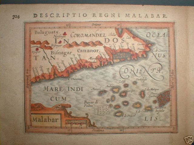
A horizontal Malabar Coast miniature map by Abraham Ortelius, Antwerp, c.1580, from the Epitome Theatri Orteliani
1580 · Kerala