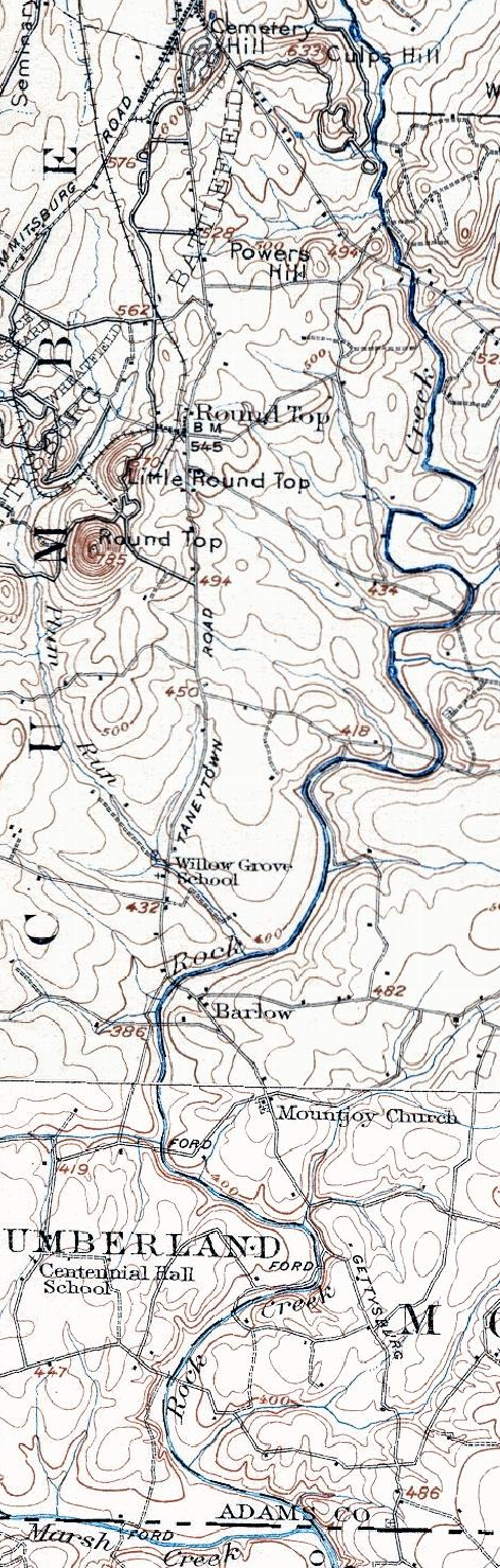

1907 Taneytown Road
Taneytown Road in Adams County, Pennsylvania before 1920s rerouting
- Date
- 1907
- Place
- Pennsylvania
- Archive
- Wikimedia Commons
- Type
- map
- Original size
- 472 × 1,479 pixels
Public domain
Reason: a US government work.
This status rests on the map's publication history, as researched by Wikimedia Commons. Check it before commercial use.
Read from: Commons licence category: PD US; no CC BY, CC BY-SA, GFDL or deletion tag on the file page; permission field: work before 1923 in US.
Credit line
"1907 Taneytown Road" (1907). Wikimedia Commons. Public domain. https://commons.wikimedia.org/wiki/File:1907_Taneytown_Road.pngNeed maps for a whole project? Add Find Any Map to Claude and ask for this one by its id: 572.
More like this

Map of Gettysburg Battlefield
1907 · Wikimedia Commons

Map of the battlefield of Antietam with the locations of monuments erected by the Commonwealth of Pennsylvania
1908 · Library of Congress

Map of the battlefield of Antietam with the locations of monuments erected by the Commonwealth of Pennsylvania to the 3rd, 4th, 7th, 8th regiments of infantry, Pennsylvania Reserve Corps
1908 · Library of Congress

Map of the Gettysburg Battlefield
1900 · Library of Congress

Extract from the original (large scale) map of Gettysburg battle field in 4 sheets, being portions of sheets 2 and 3 lying S. & S.W. of the town of Gettysburg.
1861 · Library of Congress

1839 Gettysburg RR Map planned
1839 · Library of Congress

Map of the maneuver ground of the Camp of Instruction, Gettysburg, Pa. - July 1910
1910 · Library of Congress

Map of Gettysburg battlefield
1910 · Library of Congress