

1839 Gettysburg RR Map planned
Map and Profile of the as surveyed by order of the Legislature of Pennsylvania, 1839. This map depicts the planned route of a railroad called the "Gettysburg Railroad", that was partially built during 1833-39. The uncompleted road, which was designed to head west from Gettysburg, Pensylvania to the Potomac River in Maryland, was nickamed the " " by its detractors. (Another company called built a different line, from Gettysburg eastward during 1856-58.) The Tapeworm right-of-way depicted here was later used by the and its successor, the to build a line west to Highfield, Maryland. These companies were acquired by the in 1917.
- Date
- 1839
- Mapmaker / publisher
- Henry Roe Campbell, Civil Engineer
- Place
- Maryland
- Archive
- Library of Congress (via Wikimedia Commons)
- Type
- map
- Original size
- 10,075 × 3,819 pixels
Public domain
Reason: its maker died long enough ago that the copyright has expired.
This status rests on the map's publication history, as researched by Wikimedia Commons. Check it before commercial use.
Read from: Commons licence category: PD Old; no CC BY, CC BY-SA, GFDL or deletion tag on the file page.
Credit line
"1839 Gettysburg RR Map planned" (1839). Henry Roe Campbell, Civil Engineer. Library of Congress, Geography and Map Division, via Wikimedia Commons. Public domain. https://commons.wikimedia.org/wiki/File:1839_Gettysburg_RR_Map_planned.jpgNeed maps for a whole project? Add Find Any Map to Claude and ask for this one by its id: 6222.
More like this

Map and profile of the Gettysburg Rail Road as surveyed by order of the legislature of Pennsylvania, 1839.
1839 · Library of Congress

Map of Gettysburg battlefield
1910 · Library of Congress

Map of the located route of the Metropolitan Rail Road and the adjacent country comprising the District of Columbia and the counties of Montgomery, Frederick, and Washington in the state of Maryland
1855 · Library of Congress

1855 PRR
1855 · Library of Congress

Plan and profile of the Danville and Pottsville Rail Road.
1831 · Library of Congress

Map of the Manassas Gap Railroad and its extensions; September, 1855.
1855 · Library of Congress
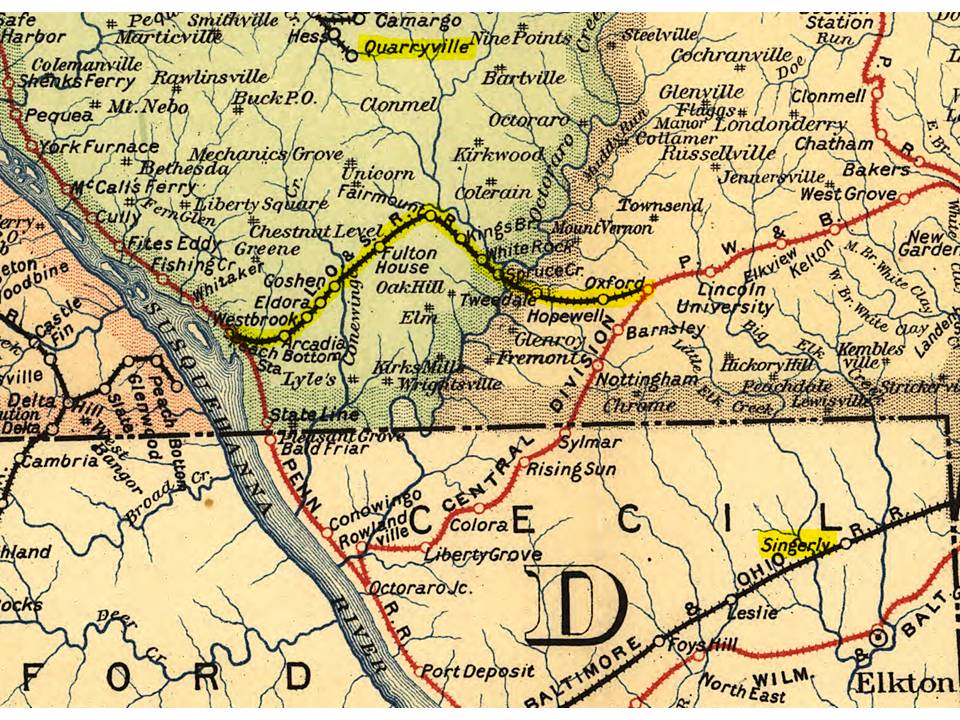
LO&S RR map 1895
1895 · Library of Congress

1860 Map of the Virginia Central Railroad
1860 · Library of Congress