

18e s.-Plan de Saint-Benoît-sur-Loire
- Date
- April 30, 2012
- Mapmaker / publisher
- made in 18th century
- Place
- France
- Archive
- Wikimedia Commons
- Type
- map
- Original size
- 410 × 300 pixels
Public domain
Reason: a US government work.
This status rests on the map's publication history, as researched by Wikimedia Commons. Check it before commercial use.
Read from: Commons licence category: PD US; no CC BY, CC BY-SA, GFDL or deletion tag on the file page; Commons tags it as a US government work, but its record names no government maker.
Credit line
"18e s.-Plan de Saint-Benoît-sur-Loire" (April 30, 2012). made in 18th century, via Wikimedia Commons. Public domain. https://commons.wikimedia.org/wiki/File:18e_s.-Plan_de_Saint-Beno%C3%AEt-sur-Loire.JPGNeed maps for a whole project? Add Find Any Map to Claude and ask for this one by its id: 250989.
More like this

Rue du cloitre Saint-Benoit
18th century · Wikimedia Commons
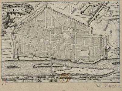
1634-Plan d'Orléans
April 30, 2012 · Wikimedia Commons

Sancti Saluatoris / Villae lupensis / Abbatiae delineatio: estampe ( Seul état connu ) / anonyme
1672–1689 · Wikimedia Commons

Port-Louis Plan du XVIII siècle
1700–1800 · Wikimedia Commons

Plan du palais abbatial de St Germain des Prez: dessin
1704 · Plate 1 of 2

Plan du quartier Saint-André-des-Arts et des Grands-Augustins. Feuille I: dessin
Wikimedia Commons

Plan de St Servan
1680–1700 · Wikimedia Commons

Plan et description du quartier de la Cité, avec ses rues et ses limites, par Jean-Baptiste Scotin (1678-?)
1710 · Wikimedia Commons