

1800 Wilkinson Map of the 4 Eastern Churches
Map of the 4 Eastern Churches in the Pentarchy, circa 500CE
- Date
- 1822
- Mapmaker / publisher
- Robert Wilkinson (mapmaker)
- Place
- history of Christianity
- Archive
- Wikimedia Commons
- Type
- map
- Original size
- 1,802 × 1,378 pixels
Public domain
Reason: its maker died long enough ago that the copyright has expired.
This status rests on the map's publication history, as researched by Wikimedia Commons. Check it before commercial use.
Read from: Commons licence category: PD Old; no CC BY, CC BY-SA, GFDL or deletion tag on the file page.
Credit line
"1800 Wilkinson Map of the 4 Eastern Churches" (1822). Robert Wilkinson (mapmaker), via Wikimedia Commons. Public domain. https://commons.wikimedia.org/wiki/File:1800_Wilkinson_Map_of_the_4_Eastern_Churches.jpgNeed maps for a whole project? Add Find Any Map to Claude and ask for this one by its id: 239232.
More like this

1800 Wilkinson Map of the 4 Eastern Churches rectified
1800 · 2 sheets

A New Map of the Eastern Parts of Asia Minor
c. 1712 · Wikimedia Commons
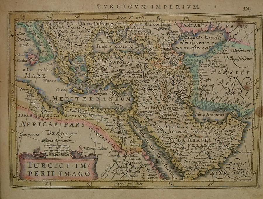
Mercator-Hondius (1634) Ottoman Empire
1634 · Wikimedia Commons

The Church of the Holy Sepulcre. Herman Moll. The Turkish Empire in Europe, Asia and Africa. 1752
1752 · Wikimedia Commons

Gulf11.
Wikimedia Commons

The Holy Sepulcre. Herman Moll. The Turkish Empire in Europe, Asia and Africa. 1752
1752 · Wikimedia Commons

Theatrum historicum ad annum Christi quadringentesimum - in quo tum Imperii Romani tum Barbarorum circum incolentium status ob oculosponitur pars orientalis
1712 · Library of Congress

The Earth's hemispheres in 1791 by Reilly 0002
1791 · Wikimedia Commons