

Whale islandmap1833
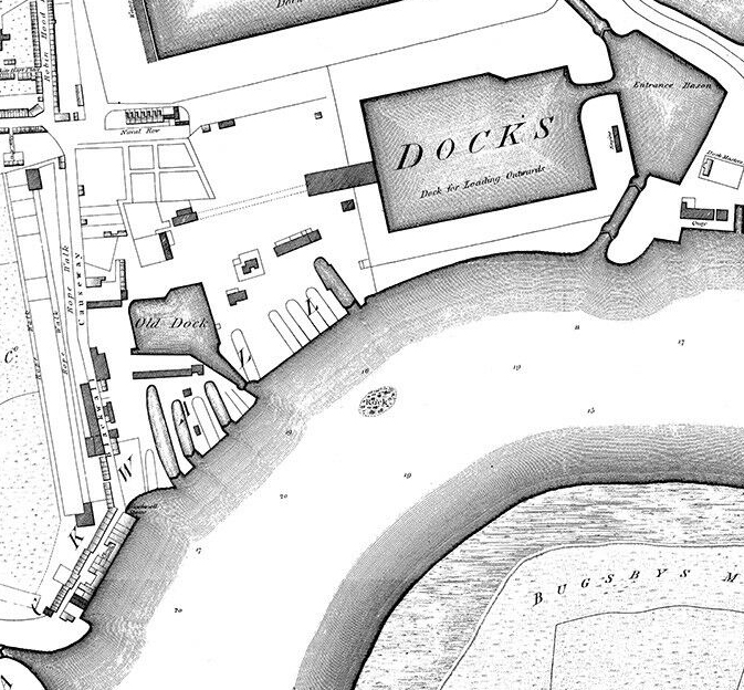
Map of Whale island from 1833
- Date
- 1833
- Mapmaker / publisher
- surveyed by I.T& C.lewis
- Place
- Hampshire
- Archive
- Wikimedia Commons
- Type
- map
- Original size
- 919 × 682 pixels
Public domain
Reason: its maker died long enough ago that the copyright has expired.
This status rests on the map's publication history, as researched by Wikimedia Commons. Check it before commercial use.
Read from: Commons licence category: PD Old; no CC BY, CC BY-SA, GFDL or deletion tag on the file page; permission field: PD.
Credit line
"Whale islandmap1833" (1833). surveyed by I.T& C.lewis, via Wikimedia Commons. Public domain. https://commons.wikimedia.org/wiki/File:Whale_islandmap1833.pngNeed maps for a whole project? Add Find Any Map to Claude and ask for this one by its id: 245751.
More like this

Lundy by Henry Mangles Denham 1804
1804–1834 · Wikimedia Commons
Horwood Blackwall
1813 · Wikimedia Commons

Map of Bermuda
1857 · Wikimedia Commons

Woolwich, Beresford Square, Ordnance Survey Map, 1853
1853 · Wikimedia Commons

Map of Barking, 1777.
1777 · Wikimedia Commons

Wellington Channel Melville Island &c from Admiralty Chart 1862
1862 · Wikimedia Commons

North Southwark 1830
1830 · Wikimedia Commons

MILBERT(1812) p160 - Île-de-France, Plan du Port Impérial (Mahébourg)
1812 · Wikimedia Commons