

Wellfleet Harbor, Massachusetts
Scale 1:50,000. Title in lower margin: Wellfleet Harbor. Facsimile. "The Magnetic observations by C. A. Schott Assistant in Sept. 1860." Relief shown by hachures. Depths shown by contours and soundings. "Polyconic projection." "American Revolution Bicentennial, 1776-1976." "No. 340." "BiC-25." Also covers adjacent part of Cape Cod Bay. Includes sailing information. AACR2: 110; 650/2; 700/1; 710/2
- Date
- 1976
- Mapmaker / publisher
- U.S. Coast And Geodetic Survey; Bache, A. D. (Alexander Dallas); National Ocean Survey
- Place
- Massachusetts
- Scale
- 1:50,000
- Archive
- Library of Congress (via Wikimedia Commons)
- Type
- map
- Original size
- 5,841 × 5,039 pixels
Public domainsafest
Reason: a US government work.
Read from: Commons licence category: PD US Government; no CC BY, CC BY-SA, GFDL or deletion tag on the file page.
Credit line
"Wellfleet Harbor, Massachusetts" (1976). U.S. Coast And Geodetic Survey; Bache, A. D. (Alexander Dallas); National Ocean Survey. Library of Congress, Geography and Map Division, via Wikimedia Commons. Public domain. https://commons.wikimedia.org/wiki/File:Wellfleet_Harbor,_Massachusetts_LOC_79695324.jpgNeed maps for a whole project? Add Find Any Map to Claude and ask for this one by its id: 121052.
More like this

Nantucket Harbor
1976 · Library of Congress

Plymouth Harbor, Massachusetts
1976 · Library of Congress
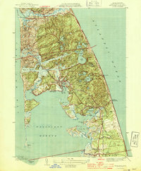
Wellfleet, Massachusetts: USGS topographic map, 1:31,680 (1944)
1944 · 4 editions

Gloucester Harbor, Massachusetts
1976 · Library of Congress
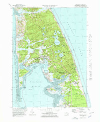
Wellfleet, Massachusetts: USGS topographic map, 1:25,000 (1972–1977)
1972–1977 · 3 editions
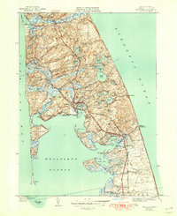
Wellfleet, Massachusetts: USGS topographic map, 1:24,000 (1944–1972)
1944–1972 · 5 editions

Woods Hole, Massachusetts
1976 · Library of Congress
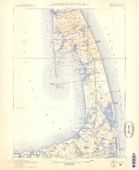
Wellfleet, Massachusetts: USGS topographic map, 1:62,500 (1887–1893)
1887–1893 · 10 editions