

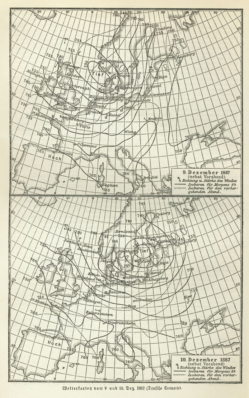
Weather map of Europe MKL Bd. 16 1890
Weather map of Europe (09. & 10 December 1887)
- Date
- 1890
- Place
- Europe
- Archive
- Wikimedia Commons
- Type
- map
- Original size
- 2,188 × 3,415 pixels
Public domainsafest
Reason: its maker died more than 100 years ago.
Read from: Commons licence category: PD-old-100-expired; no CC BY, CC BY-SA, GFDL or deletion tag on the file page.
Credit line
"Weather map of Europe MKL Bd. 16 1890" (1890). Wikimedia Commons. Public domain. https://commons.wikimedia.org/wiki/File:Weather_map_of_Europe_MKL_Bd._16_1890_(128535969).jpgNeed maps for a whole project? Add Find Any Map to Claude and ask for this one by its id: 251560.
More like this
Meyers b16 s0570
1885–1890 · Wikimedia Commons

Synoptic chart 1874
October 22, 1874 · Wikimedia Commons

Deutsche Seewarte atmospheric pressure map Wetterbericht von 23 Januar 1907
January 23, 1907 · Wikimedia Commons

Meyers b5 s0919a
1885–1890 · Wikimedia Commons

Meyers b17 s1056b
1885–1890 · Wikimedia Commons

Europa politisch
1881 · Library of Congress

Meyers b5 s0919b
1885–1890 · Wikimedia Commons

Meyers leiner Hand-atlas: mit Benutzung des Kartenmaterials aus Meyers Konversations-Lexikon zusammengestellt in 100 Kartenblättern und 9 Textbeilagenit.
Wikimedia Commons