

Warrenton Junction area
The map shows the Warrenton and Warrenton Junction area of Virginia where the 1st West Virginia Cavalry was surprised by Confederate leader John S. Mosby during May 1863.
- Date
- 1912
- Mapmaker / publisher
- Sifton, Praed & Company, Ltd. modified by TwoScarsUp
- Archive
- Library of Congress (via Wikimedia Commons)
- Type
- map
- Original size
- 980 × 436 pixels
Public domainsafest
Reason: its US copyright has expired (published before 1931).
Read from: Commons licence category: PD US expired; no CC BY, CC BY-SA, GFDL or deletion tag on the file page.
Credit line
"Warrenton Junction area" (1912). Sifton, Praed & Company, Ltd. modified by TwoScarsUp. Library of Congress, Geography and Map Division, via Wikimedia Commons. Public domain. https://commons.wikimedia.org/wiki/File:Warrenton_Junction_area.pngNeed maps for a whole project? Add Find Any Map to Claude and ask for this one by its id: 183.
More like this

The map shows the area surrounding Fairfax, Virginia, during the American Civil War. The 18th Pennsylvania Cavalry patrolled this area at the beginning of 1863.
1912 · Library of Congress

Gordonsville Raid
1912 · Library of Congress

5NY Cavalry Protects Washington
1912 · Library of Congress

The map shows the area in Virginia around Romney, Kernstown, and Snicker's Gap during the American Civil War. Early action for the 1st (Loyal) Virginia Cavalry (which became the 1st West Virginia Cava
1912 · Library of Congress

14 PA Cav in Virginia Nov 1864
1912 · Library of Congress
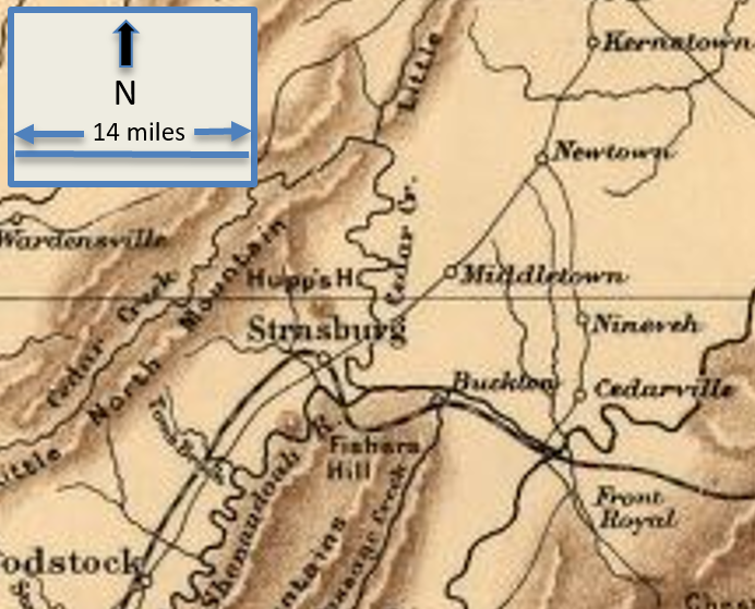
Front Royal - Nineveh Virginia
1912 · Library of Congress

Richmond-Petersburg American Civil War
1912 · Library of Congress

Orange - Culpepper - Mine Run VA
1912 · Library of Congress