

Via Emilia Peutingeriana
- Archive
- Wikimedia Commons
- Type
- map
- Original size
- 558 × 479 pixels
Public domain
Reason: its maker died long enough ago that the copyright has expired.
This status rests on the map's publication history, as researched by Wikimedia Commons. Check it before commercial use.
Read from: Commons licence category: PD Old; no CC BY, CC BY-SA, GFDL or deletion tag on the file page.
Credit line
"Via Emilia Peutingeriana". Wikimedia Commons. Public domain. https://commons.wikimedia.org/wiki/File:Via_Emilia_Peutingeriana.jpgNeed maps for a whole project? Add Find Any Map to Claude and ask for this one by its id: 20530.
More like this

The Temple of Iupiter Poeninus and the Statio ad Ensem (at the center of the picture) by the Tabula Peutingeriana
Wikimedia Commons

Peutingerian tables a.d.393-1
1849 · Wikimedia Commons
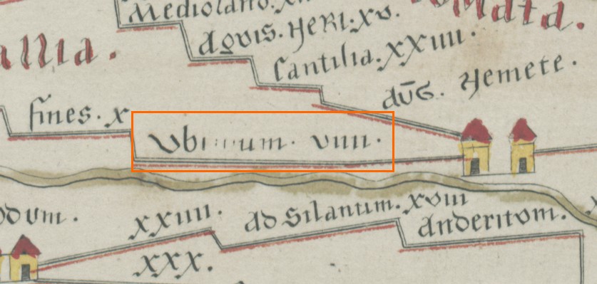
Peutinger ubriulium
Wikimedia Commons

Part of Tabula Peutingeriana with highlighting of the road from Augusta Vindelicum to Verona via the Brenner pass
Wikimedia Commons

TabulaPeutingeriana (cropped, Austria section, roughly upper central Italy and Algeria)
1887 · Wikimedia Commons

Peutinger arvernes
Wikimedia Commons

Tabula Peuntingeriana
Wikimedia Commons

Segment IV of Ortelius’s “Tabula itineraria ex illustri Peutingerorum Bibliotheca quae Augustae Vindel. Est.”
1619 · Wikimedia Commons