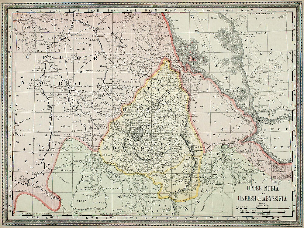

Upper Nubia and Habesh or Abyssinia.
1:5,000,000; Relief shown by hachures.
- Date
- 1882
- Place
- Ethiopia
- Archive
- Wikimedia Commons
- Type
- map
- Original size
- 1,000 × 752 pixels
Public domain
Reason: a US government work.
This status rests on the map's publication history, as researched by Wikimedia Commons. Check it before commercial use.
Read from: Commons licence category: PD US; no CC BY, CC BY-SA, GFDL or deletion tag on the file page.
Credit line
"Upper Nubia and Habesh or Abyssinia." (1882). Wikimedia Commons. Public domain. https://commons.wikimedia.org/wiki/File:Upper_Nubia_and_Habesh_or_Abyssinia._-_DPLA_-_0117b37171627984f04832417b36c5eb.jpgNeed maps for a whole project? Add Find Any Map to Claude and ask for this one by its id: 242228.
More like this

Map of Abyssinia and the Surrounding Countries
1892 · Wikimedia Commons

Nubia and Abyssinia
1832 · Wikimedia Commons

DYE(1880) p519 Map of NORTH-EASTERN AFRICA
1880 · Wikimedia Commons

AFR V1 D173 Northern Abyssinia (Ethiopia)
June 12, 1890 · Wikimedia Commons

Abyssinia and the Surrounding Countries
1898 · Wikimedia Commons

Afrika in 6 Blättern, Sheet 4.
1889 · Wikimedia Commons

Egypte, Soudan, Abyssinie
1884 · Wikimedia Commons

Map of trade routes across Ethiopia
1892 · Wikimedia Commons