

Under a black cloud!
- Date
- 1883
- Archive
- Library of Congress (via Wikimedia Commons)
- Type
- map
- Original size
- 10,715 × 7,128 pixels
Public domainsafest
Reason: its maker died more than 100 years ago.
Read from: Commons licence category: PD-old-100-expired; no CC BY, CC BY-SA, GFDL or deletion tag on the file page.
Credit line
"Under a black cloud!" (1883). Library of Congress, Geography and Map Division, via Wikimedia Commons. Public domain. https://commons.wikimedia.org/wiki/File:Under_a_black_cloud!_LOC_98687154.jpgNeed maps for a whole project? Add Find Any Map to Claude and ask for this one by its id: 120586.
More like this

Sanborn Fire Insurance Map from Rock Island, Rock Island County, Illinois, 1886
1886 · 22 sheets

Sanborn Fire Insurance Map from Pueblo, Pueblo County, Colorado, 1883
1883 · 9 sheets

Sanborn Fire Insurance Map from Saint Joseph, Bachanan County, Missouri, 1883
1883 · 48 sheets

Sectional map of the state of North Dakota published by authority of the commissioners of railroads under the direction of the governor; drawn and compiled from official maps of the General Land
1892 · Library of Congress

Sanborn Fire Insurance Map from Nashville, Davidson County, Tennessee, 1888
1888 · 41 sheets

Sanborn Fire Insurance Map from Washington, District of Columbia, District of Columbia, 1888
1888 · 46 sheets

Sanborn Fire Insurance Map from Sioux Falls, Minnehaha County, South Dakota, 1883
1883 · 3 sheets
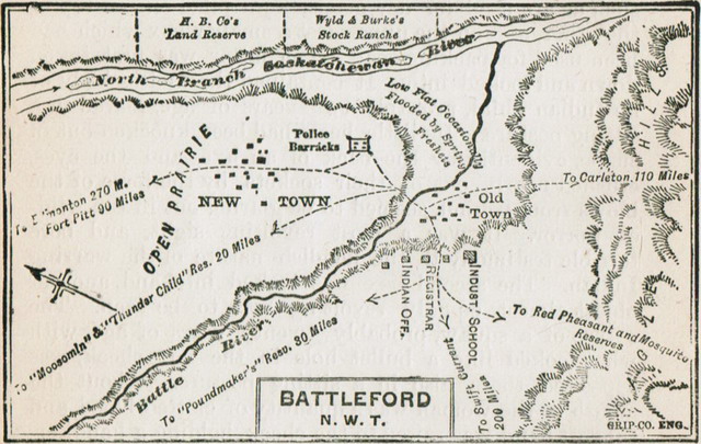
Map of Battleford 1885
1885 · Wikimedia Commons