

Uhryniv, 1866—1887, map
Uhryniv on the map "Военно-топографическая карта Российской Империи" (known as "Schubert's map"), 22-3, 1867-1879 (issued in 1911).
- Date
- 1867–1879
- Place
- the Russian Empire
- Archive
- Wikimedia Commons
- Type
- map
- Original size
- 567 × 557 pixels
Public domainsafest
Reason: its maker died more than 100 years ago.
Read from: Commons licence category: PD-old-100-expired; no CC BY, CC BY-SA, GFDL or deletion tag on the file page.
Credit line
"Uhryniv, 1866—1887, map" (1867–1879). Wikimedia Commons. Public domain. https://commons.wikimedia.org/wiki/File:Uhryniv,_1866%E2%80%941887,_map.pngNeed maps for a whole project? Add Find Any Map to Claude and ask for this one by its id: 242299.
More like this

Udrytsk, 1866—1887, map
1866–1887 · Wikimedia Commons

Hrani, 1866—1887, map
1866–1887 · Wikimedia Commons
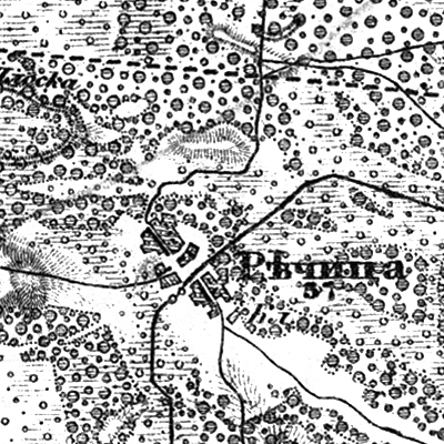
Richytsia, 1866—1887, map
1866–1887 · Wikimedia Commons

Berezhnytsia, 1866—1887, map
1866–1887 · Wikimedia Commons

Liutynsk, 1866—1887, map
1866–1887 · Wikimedia Commons
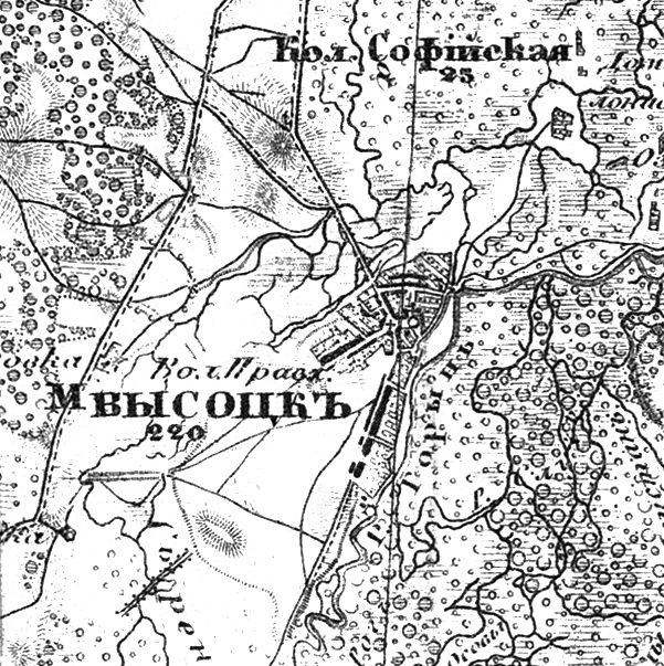
Vysotsk, 1866—1887, map
1866–1887 · Wikimedia Commons

Krupove, 1866—1887, map
1866–1887 · Wikimedia Commons

Svarytsevychi, 1866—1887, map
1866–1887 · Wikimedia Commons