

Traînées de condensations
- Date
- 2007–2009
- Mapmaker / publisher
- National Weather Service Office in Binghamton, NY
- Archive
- Wikimedia Commons
- Type
- map
- Original size
- 608 × 405 pixels
Public domainsafest
Reason: a US government work (NOAA).
Read from: Commons licence category: PD US NOAA; no CC BY, CC BY-SA, GFDL or deletion tag on the file page.
Credit line
"Traînées de condensations" (2007–2009). National Weather Service Office in Binghamton, NY, via Wikimedia Commons. Public domain. https://commons.wikimedia.org/wiki/File:Tra%C3%AEn%C3%A9es_de_condensations.pngNeed maps for a whole project? Add Find Any Map to Claude and ask for this one by its id: 103689.
More like this

ContrailsTraînéesCondensation2FLCommons
Wikimedia Commons

Contrails southeast lrg
January 29, 2004 · Wikimedia Commons

Contrails over Nova Scotia
Wikimedia Commons

Contrails formed at high altitude
October 13, 2005 · Wikimedia Commons

II World War contrails
1943–1944 · Wikimedia Commons

Contrails over the Mid Atlantic (MODIS 2025-12-27)
December 20, 2025 · Wikimedia Commons

Contrails nasa2004October13
January 29, 2004 · Wikimedia Commons
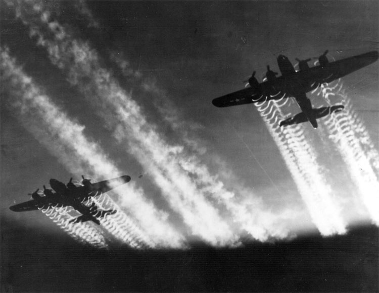
B-17 Flying Fortress
Wikimedia Commons