

Town of Westport.
Scale 1:63,360; 5,280 ft. to 1 mile. Hand colored. Inset: Outline and index map of Bristol Co. Shows land ownership. AACR2
- Date
- 1910
- Place
- Bristol County, Massachusetts
- Scale
- 1:63,360
- Archive
- Library of Congress (via Wikimedia Commons)
- Type
- map
- Original size
- 9,603 × 6,578 pixels
Public domainsafest
Reason: its maker died more than 100 years ago.
Read from: Commons licence category: PD-old-100-expired; no CC BY, CC BY-SA, GFDL or deletion tag on the file page.
Credit line
"Town of Westport." (1910). Library of Congress, Geography and Map Division, via Wikimedia Commons. Public domain. https://commons.wikimedia.org/wiki/File:Town_of_Westport._LOC_gm71000573.jpgNeed maps for a whole project? Add Find Any Map to Claude and ask for this one by its id: 120407.
More like this
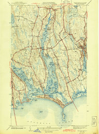
Westport, Massachusetts: USGS topographic map, 1:31,680 (1942–1951)
1942–1951 · 5 editions
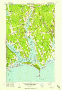
Westport, Massachusetts: USGS topographic map, 1:24,000 (1951–1977)
1951–1977 · 7 editions

Road map of Bristol Co., Mass.
1895 · Library of Congress
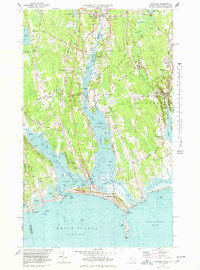
Westport, Massachusetts: USGS topographic map, 1:25,000 (1977–1985)
1977–1985 · 3 editions

Map of Wareham.
1832 · Library of Congress

Map of Woodstock, Conn., 1883.
1886 · Library of Congress
Westport, Maine: USGS topographic map, 1:24,000 (1970–2000)
1970–2000 · 3 editions

Richards standard atlas of Hampden County, Massachusetts - based upon, and carefully compiled from, the official plans, surveys and records of the city engineers, assessors and other municipal
1912 · West Springfield, Massachusetts, plate 11