

Topographic map of Fredericksburg and vicinity, Virginia, showing battlefields
Scale 1:24,000. ), 556 "Advanced sheet subject to correction." Detailed topographic map indicating relief by contour lines and spot heights, fortifications, roads and streets, houses, and drainage.
- Date
- 1931
- Mapmaker / publisher
- Geological Survey (U.S.)
- Place
- North America
- Scale
- 1:24,000
- Archive
- Library of Congress (via Wikimedia Commons)
- Type
- map
- Original size
- 4,318 × 7,243 pixels
Public domain
Reason: its maker died more than 80 years ago.
This status rests on the map's publication history, as researched by Wikimedia Commons. Check it before commercial use.
Read from: Commons licence category: PD-old-80-expired; no CC BY, CC BY-SA, GFDL or deletion tag on the file page.
Credit line
"Topographic map of Fredericksburg and vicinity, Virginia, showing battlefields" (1931). Geological Survey (U.S.). Library of Congress, Geography and Map Division, via Wikimedia Commons. Public domain. https://commons.wikimedia.org/wiki/File:Topographic_map_of_Fredericksburg_and_vicinity,_Virginia,_showing_battlefields_LOC_99439199.jpgNeed maps for a whole project? Add Find Any Map to Claude and ask for this one by its id: 120269.
More like this

Fredericksburg-Spotsylvania Battlefield National Monument, Virginia
1934 · Library of Congress
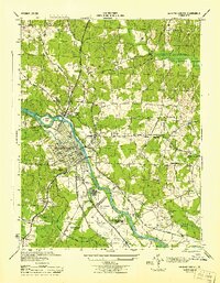
Fredericksburg, Virginia: USGS topographic map, 1:31,680 (1944)
1944 · USGS Historical Topographic Map Collection

Fredericksburg. (Dec. 1862)
1867 · Library of Congress
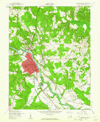
Fredericksburg, Virginia: USGS topographic map, 1:24,000 (1943–1994)
1943–1994 · 8 editions

Topographic maps of Chancellorsville and Salem Church battlefields, Spotsylvania County, Virginia
1932 · Library of Congress
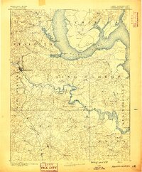
Fredericksburg, Virginia: USGS topographic map, 1:125,000 (1889–1894)
1889–1894 · 12 editions

Map of the vicinity of Fredericksburg, Va.
1862 · Library of Congress

Fredericksburg. (Dec. 1862)
1867 · Library of Congress