

Topographic map including Corral Hollow
A section of a topographic map of the California Tesla Quadrangle including most of Corral Hollow
- Date
- 1907
- Mapmaker / publisher
- E. M. Douglass, R. B. Marshall, Arthur Stiles, A. I. Oliver, H. R. Ferriss, and C. F. Urquhart
- Archive
- Wikimedia Commons
- Type
- map
- Original size
- 1,231 × 1,060 pixels
Public domainsafest
Reason: its US copyright has expired (published before 1931).
Read from: Commons licence category: PD US expired; no CC BY, CC BY-SA, GFDL or deletion tag on the file page.
Credit line
"Topographic map including Corral Hollow" (1907). E. M. Douglass, R. B. Marshall, Arthur Stiles, A. I. Oliver, H. R. Ferriss, and C. F. Urquhart, via Wikimedia Commons. Public domain. https://commons.wikimedia.org/wiki/File:Topographic_map_including_Corral_Hollow.jpgNeed maps for a whole project? Add Find Any Map to Claude and ask for this one by its id: 296382.
More like this
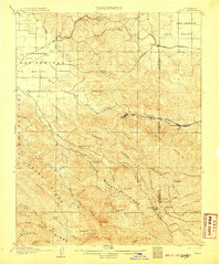
Tesla, California: USGS topographic map, 1:62,500 (1907–1943)
1907–1943 · 6 editions
Bethany, California: USGS topographic map, 1:31,680 (1914)
1914 · 2 editions
Antioch, California: USGS topographic map, 1:62,500 (1907–1908)
1907–1908 · 6 editions
Mt. Diablo, California: USGS topographic map, 1:62,500 (1896–1943)
1896–1943 · 9 editions
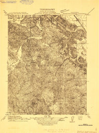
Byron Hot Springs, California: USGS topographic map, 1:31,680 (1911–1916)
1911–1916 · 3 editions
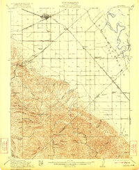
Carbona, California: USGS topographic map, 1:62,500 (1922–1942)
1922–1942 · 4 editions
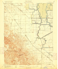
Byron, California: USGS topographic map, 1:62,500 (1916–1940)
1916–1940 · 4 editions
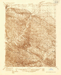
Kreyenhagen Hills, California: USGS topographic map, 1:31,680 (1936–1941)
1936–1941 · 2 editions