

Toda la tierra de las Indias
Spanish map of America entitled "Toda la tierra de las Indias" (All the land of the Indies) and contained in the book HIstoria general de las Indias by Francisco López de Gómara, first published in 1552.
- Date
- 1552–1553
- Mapmaker / publisher
- Francisco López de Gómara
- Place
- the Americas
- Archive
- Wikimedia Commons
- Type
- map
- Original size
- 2,409 × 1,550 pixels
Public domainsafest
Reason: its maker died more than 70 years ago.
Read from: Commons licence category: PD-old-70-expired; no CC BY, CC BY-SA, GFDL or deletion tag on the file page.
Credit line
"Toda la tierra de las Indias" (1552–1553). Francisco López de Gómara, via Wikimedia Commons. Public domain. https://commons.wikimedia.org/wiki/File:Toda_la_tierra_de_las_Indias.jpgNeed maps for a whole project? Add Find Any Map to Claude and ask for this one by its id: 234962.
More like this
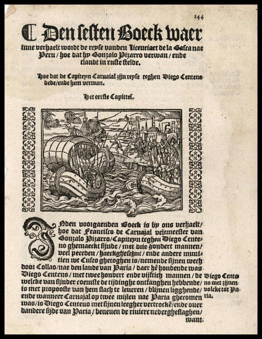
Gonzalo Pizarro sailing in Peru
1554 · Wikimedia Commons

Herrera y Tordesillas Descripcion de las Yndias del Norte 1601 UTA
1601 · Wikimedia Commons

1632 Cardona Descripcion Indias
June 24, 1632 · Wikimedia Commons

Herrera y Tordesillas Descripcion de las Yndias Ocidentales 1601 UTA
1601 · Wikimedia Commons

Map of North and South America showing the connection of the two continents by an isthmus. Published in Introductio in Ptholomei Cosmographiam (Introduction to the Cosmography of Ptolemy) by Jan of St
1512 · Library of Congress

1534 - Isolario di Benedetto Bordone - Nuevo Mundo
1534 · Wikimedia Commons

Map of Americas(1553)
1553 · Wikimedia Commons

Giovanni Battista Ramusio - Terzo volume delle nauigationi et viaggi
1556 · Wikimedia Commons