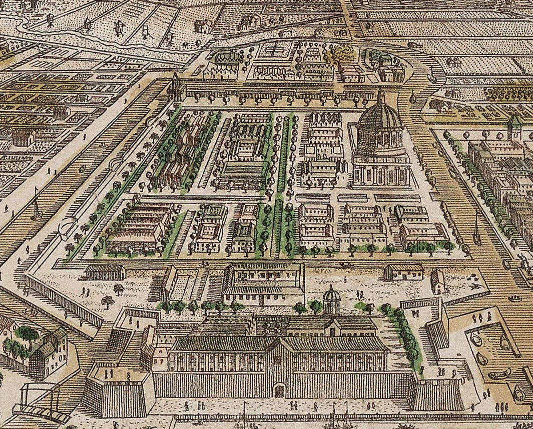

Tijgersgracht Batavia
- Date
- c. 1780
- Mapmaker / publisher
- Paris: Daumont I. van Reyne. - London: R. Sayer, 1754
- Place
- Batavia
- Archive
- Wikimedia Commons
- Type
- map
- Original size
- 1,065 × 858 pixels
Public domainsafest
Reason: its maker died more than 70 years ago, and a faithful scan of a flat work adds no new copyright.
Read from: Commons licence category: PD-Art (PD-old-70); no CC BY, CC BY-SA, GFDL or deletion tag on the file page.
Credit line
"Tijgersgracht Batavia" (c. 1780). Paris: Daumont I. van Reyne. - London: R. Sayer, 1754, via Wikimedia Commons. Public domain. https://commons.wikimedia.org/wiki/File:Tijgersgracht_Batavia.jpgNeed maps for a whole project? Add Find Any Map to Claude and ask for this one by its id: 303879.
More like this

Vue de l'isle et de la ville de Batavia appartenant aux Hollandois, pour la Compagnie des Indes (mirror correction)
c. 1780 · Wikimedia Commons

Vue de l'isle et de la ville de Batavia appartenant aux Hollandois, pour la Compagnie des Indes
c. 1780 · Wikimedia Commons

Dutch Batavia circa 1760
c. 1760 · Wikimedia Commons

Gezicht in vogelvluchtperspectief op Batavia, RP-P-2018-3198
1762–1800 · Wikimedia Commons

Gezicht in vogelvlucht op de stad Batavia, 1629 Batavia (titel op object) Het Fort Batavia, RP-P-OB-75.467
1632–1646 · Wikimedia Commons

Plattegrond van Amsterdam Platte grond der stad Amsterdam Plan de la ville d'Amsterdam (titel op object), RP-P-AO-20-71
1774–1809 · Wikimedia Commons

Map of the islands off the coast of Batavia
c. 1682 · Wikimedia Commons

Dutch Batavia 1754 High Quality
1754 · Wikimedia Commons