

Ticonderoga, N.Y.
Perspective map not drawn to scale. Bird's-eye-view. ), 639 Includes illus. and index to points of interest. AACR2
- Date
- 1884
- Mapmaker / publisher
- Burleigh, L. R. (Lucien R.); Beck & Pauli; Burleigh, L. R
- Place
- Essex County, New York
- Archive
- Library of Congress (via Wikimedia Commons)
- Type
- bird's-eye view
- Original size
- 8,128 × 5,328 pixels
Public domainsafest
Reason: its maker died more than 100 years ago.
Read from: Commons licence category: PD-old-100-expired; no CC BY, CC BY-SA, GFDL or deletion tag on the file page.
Credit line
"Ticonderoga, N.Y." (1884). Burleigh, L. R. (Lucien R.); Beck & Pauli; Burleigh, L. R. Library of Congress, Geography and Map Division, via Wikimedia Commons. Public domain. https://commons.wikimedia.org/wiki/File:Ticonderoga,_N.Y._LOC_75694853.jpgNeed maps for a whole project? Add Find Any Map to Claude and ask for this one by its id: 120184.
More like this
Ticonderoga, New York: USGS topographic map, 1:62,500 (1894–1902)
1894–1902 · 12 editions
Ticonderoga, Vermont: USGS topographic map, 1:62,500 (1894–1950)
1894–1950 · 6 editions
Ticonderoga, New York: USGS topographic map, 1:24,000 (1950)
1950 · 9 editions
Ticonderoga, New York: USGS topographic map, 1:100,000 (1986–1989)
1986–1989 · 3 editions
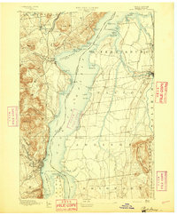
Port Henry, New York: USGS topographic map, 1:62,500 (1894–1947)
1894–1947 · 16 editions
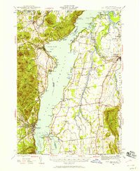
Port Henry, Vermont: USGS topographic map, 1:62,500 (1945)
1945 · 2 editions
Port Henry, New York: USGS topographic map, 1:25,000 (1980)
1980 · USGS Historical Topographic Map Collection
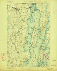
Rouse Point, New York: USGS topographic map, 1:62,500 (1895–1907)
1895–1907 · 4 editions