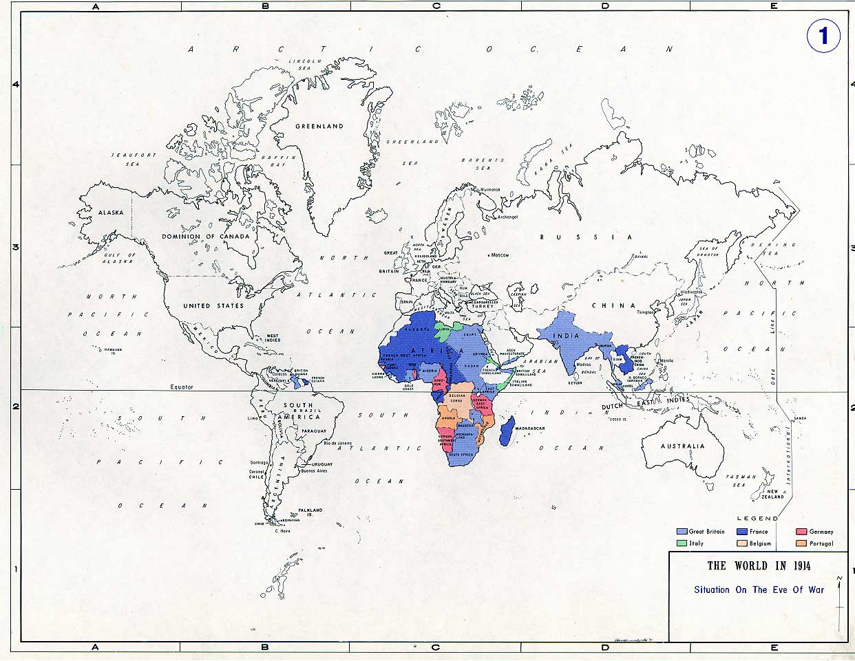

The World in 1914 at the eve of the Great War
- Date
- 1914
- Archive
- Wikimedia Commons
- Type
- map
- Original size
- 1,242 × 961 pixels
Public domainsafest
Reason: a US government work.
Read from: Commons licence category: PD US Government; no CC BY, CC BY-SA, GFDL or deletion tag on the file page.
Credit line
"The World in 1914 at the eve of the Great War" (1914). Wikimedia Commons. Public domain. https://commons.wikimedia.org/wiki/File:World1914.jpgNeed maps for a whole project? Add Find Any Map to Claude and ask for this one by its id: 21865.
More like this

The blood-red world - map showing territory of the Earth directly affected by the Great War.
1914 · Library of Congress

General map showing European frontiers, 1914
1914 · Wikimedia Commons

Here are the Kaiser's war plans - National Security League's warning to thoughtful Americans - how Germany wanted the world to look - a graphic explanation of why there is a war.
1917 · Library of Congress

The Daily Telegraph map of the world on Mercator's projection
1918 · Library of Congress

C. 1911 Europe and Russia
c. 1911 · Wikimedia Commons

General map showing European frontiers
Wikimedia Commons

Map of Central Europe showing the principal theatre of war
1914 · Wikimedia Commons

The Blood-Red World Map Showing Territory of the Earth Directly Affected by the Great War
1914 · Wikimedia Commons