
The Sea-Atlas.
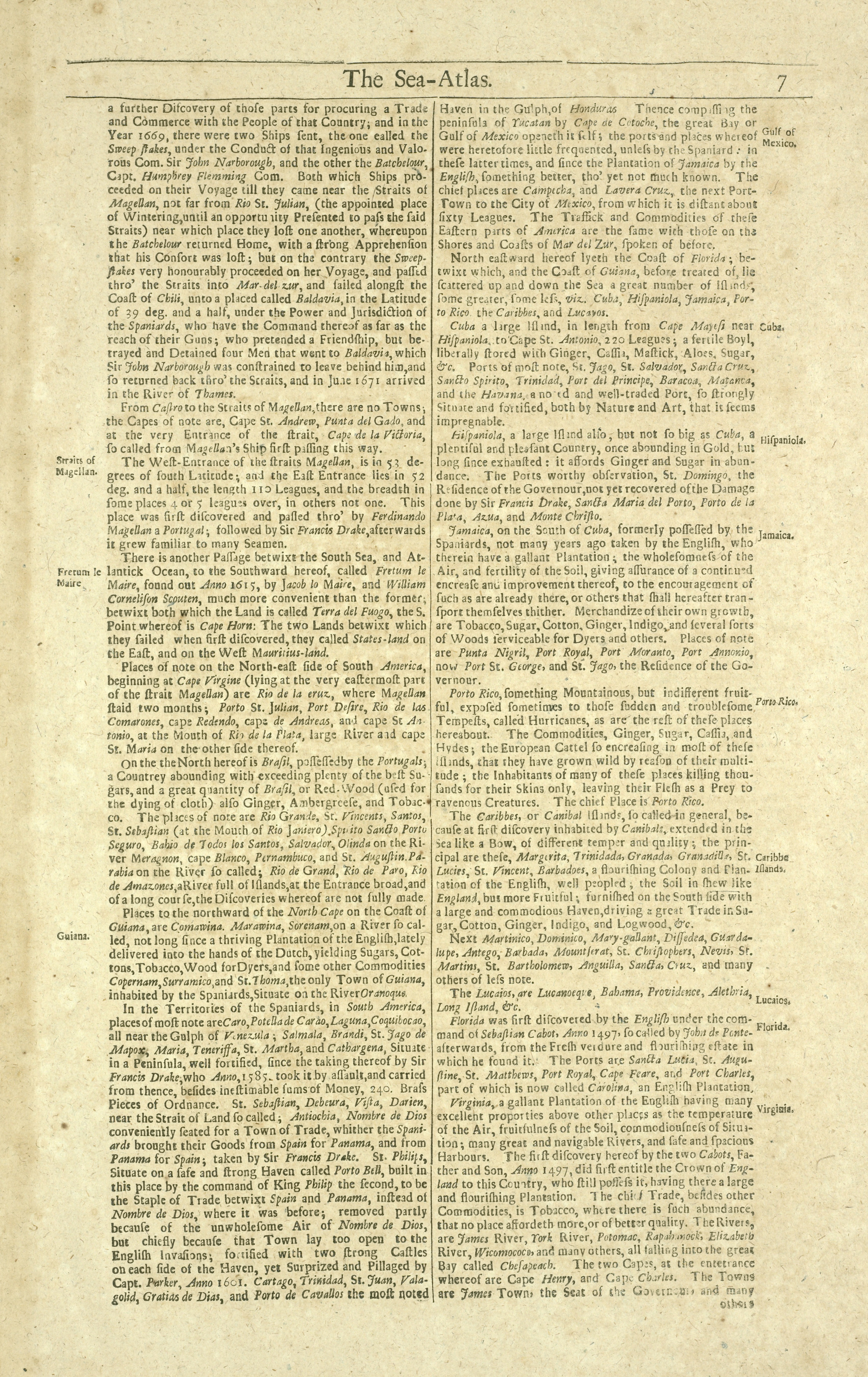
Contains 8 pages of text and 173 double-page large folio charts, colored by a contemporary hand. * Citation/Reference: Sabin 95631 * Most of the maps bear the imprint of Samuel Thornton, but some were issued by John Thornton, and others. The volumes may be a compilation from several sources, including John Thornton's Atlas maritimus.--cf. Bookseller's description inserted in v. 1; Sabin 95631; and Phillips 2833, 3455.
- Date
- 1702
- Mapmaker / publisher
- Scan by NYPL
- Archive
- New York Public Library (via Wikimedia Commons)
- Type
- atlas page
- Sheets
- 7
- Original size
- 4,537 × 6,998 pixels
Public domainsafest
Reason: its maker died more than 100 years ago.
Read from: Commons licence category: PD-old-100-expired; no CC BY, CC BY-SA, GFDL or deletion tag on the file page.
Credit line
"The Sea-Atlas." (1702). Scan by NYPL. New York Public Library, via Wikimedia Commons. Public domain. https://commons.wikimedia.org/wiki/File:The_Sea-Atlas_(NYPL_b13909432-1640702).jpgNeed maps for a whole project? Add Find Any Map to Claude and ask for this one by its id: 19515.
All 7 sheets
Each sheet links to its file at the archive; the image link is the full-size scan.



More like this

The Sea-Atlas: Containing an hydrographical Description of most of the sea-coasts of the Known Parts of the world.
1702 · New York Public Library

Atlas maritimus or, the sea-atlas - being a book of maratime (sic) charts describing the coasts, capes, headlands, sands, shoals, rocks and dangers, the bays, roads, harbours, rivers, and ports in
1700 · 31 sheets

A chart of the Seacoasts of ENGLAND FLANDERS and HOLLAND shewing all the sand shoals Rocks and Dangers, The Bayes, Roads, Harbours, Buoyes and seamarks on the said coasts.
1702 · New York Public Library

A chart of the sea coast from ENGLAND to the STREIGHTS
1702 · New York Public Library

A chart of the eastermost part of the EAST INDIES and CHINA, from Cape Comarine to JAPAN, with all adjacent Islands
1702 · New York Public Library

A chart of the east coast of Scotland.
1702 · New York Public Library

A chart of the sands, shoals, buoys, beacons, sea marks, depths of water and anchoridge. Upon the coast of ENGLAND from South Foreland to Flambrough Head
1702 · New York Public Library

A new and correct chart of the sea coast of ENGLAND, SCOTLAND and IRELAND
1702 · 2 sheets