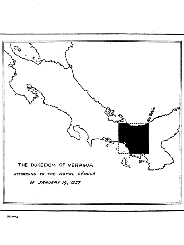

The Dukedom of Veragua
- Date
- 1812
- Mapmaker / publisher
- Segismundo Moret, Vicente Santamaría de Paredes
- Place
- Central America
- Archive
- Wikimedia Commons
- Type
- map
- Original size
- 720 × 960 pixels
Public domainsafest
Reason: its maker died more than 70 years ago.
Read from: Commons licence category: PD-old-70-expired; no CC BY, CC BY-SA, GFDL or deletion tag on the file page.
Credit line
"The Dukedom of Veragua" (1812). Segismundo Moret, Vicente Santamaría de Paredes, via Wikimedia Commons. Public domain. https://commons.wikimedia.org/wiki/File:The_Dukedom_of_Veragua.jpgNeed maps for a whole project? Add Find Any Map to Claude and ask for this one by its id: 294408.
More like this

Descripcion del destricto del advencia de Guatimala / Antonio de Herrera y Tordesillas
1601–1615 · Wikimedia Commons

Carte espagnole des côtes du Nicaragua, du Costa Rica, de Panama, de la Colombie
Wikimedia Commons

AGHRC (1890) - Carta V - División política del Virreinato de Santafé, 1810
1890 · Wikimedia Commons

Description del destricto dela Espanola / Antonio de Herrera y Tordesillas
1601–1615 · Wikimedia Commons

Kingdom of Guatemala and the Province of Taguzgalpa
1690 · Wikimedia Commons

1823 map of Central America from A statistical and commercial history of the Kingdom of Guatemala
1823 · Wikimedia Commons

Isthmus of Panama from Cartagena to Nicaragua showing both coasts.
1800 · Library of Congress

Nautical Chart of the East Coast of Central America
1885 · U.S. National Archives