

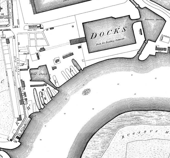
Thames wharf map 1905 London Bridge to Limehouse
High-resolution crop of G. D. Evans' 1905 Wharf Map of the River Thames from London Bridge to Limehouse.
- Date
- 1905
- Mapmaker / publisher
- G. D. Evans
- Place
- London
- Archive
- Wikimedia Commons
- Type
- map
- Original size
- 4,096 × 2,304 pixels
CC0safest
Reason: CC0: dedicated to the public domain.
Read from: Commons licence category: CC-Zero; no CC BY, CC BY-SA, GFDL or deletion tag on the file page.
Credit line
"Thames wharf map 1905 London Bridge to Limehouse" (1905). G. D. Evans, via Wikimedia Commons. CC0. https://commons.wikimedia.org/wiki/File:Thames_wharf_map_1905_London_Bridge_to_Limehouse.jpgNeed maps for a whole project? Add Find Any Map to Claude and ask for this one by its id: 291994.
More like this

Thames wharf map 1905
1905 · Wikimedia Commons

Limehouse Dock c.1880
1880 · Wikimedia Commons

(F) RALPH WALKERS PLAN OF WET DOCKS IN WAPPING
1877 · Wikimedia Commons

(B) THE MERCHANTS PLAN OF LONDON DOCKS
1877 · Wikimedia Commons
Horwood Blackwall
1813 · Wikimedia Commons

Shipyards at Deptford and Rotherhithe - Horwood’s map of London (1792-99)
1792–1799 · Wikimedia Commons

Insurance Plan of London East South-East District Vol. H: sheet 20
1903 · Wikimedia Commons

(L) THE RIVER THAMES SHEWING ALL DOCKS OF LONDON WITH THE EXTENSIONS IN PROGRESS
1877 · Wikimedia Commons