

Tarrant County, Trinity River, Fort Worth sheet
Does not cover all of Tarrant County. Relief shown by contours. Depths shown by soundings. Selected buildings shown pictorially. Shows boundary lines and points of interest in Trinity River region. In upper left margin: Arthur Alvord Stiles, state reclamation engineer.
- Date
- 1915
- Mapmaker / publisher
- Texas. Reclamation Department; Penick, Dixon; Stiles, Arthur Alvord; Geological Survey (U.S.)
- Place
- Tarrant County, Texas
- Archive
- Library of Congress (via Wikimedia Commons)
- Type
- map
- Original size
- 10,750 × 10,285 pixels
Public domainsafest
Reason: its maker died more than 100 years ago.
Read from: Commons licence category: PD-old-100-expired; no CC BY, CC BY-SA, GFDL or deletion tag on the file page.
Credit line
"Tarrant County, Trinity River, Fort Worth sheet" (1915). Texas. Reclamation Department; Penick, Dixon; Stiles, Arthur Alvord; Geological Survey (U.S.). Library of Congress, Geography and Map Division, via Wikimedia Commons. Public domain. https://commons.wikimedia.org/wiki/File:Tarrant_County,_Trinity_River,_Fort_Worth_sheet_LOC_2003623395.jpgNeed maps for a whole project? Add Find Any Map to Claude and ask for this one by its id: 119374.
More like this
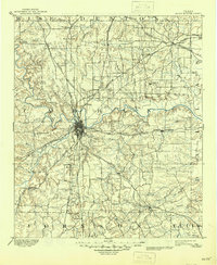
Fort Worth, Texas: USGS topographic map, 1:125,000 (1894)
1894 · 3 editions
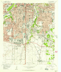
Fort Worth, Texas: USGS topographic map, 1:24,000 (1955–1995)
1955–1995 · 6 editions

Interpretative map of urbanization potential. Tarrant County, Texas
1987 · Library of Congress

Bird's-eye view of Fort Worth, Texas.
1914 · Library of Congress

Tarrant County, Texas.
1885 · Library of Congress
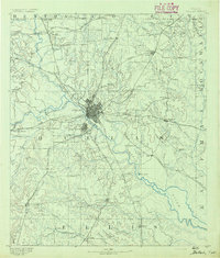
Dallas, Texas: USGS topographic map, 1:125,000 (1891–1893)
1891–1893 · 6 editions

Fort Worth, Tex., "The Queen of the Prairies," county seat of Tarrant County 1886.
1886 · Library of Congress
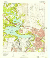
Lake Worth, Texas: USGS topographic map, 1:24,000 (1955–1995)
1955–1995 · 6 editions