

Tarnopol 1944 map
Map Battle for Tarnopol in March-April 1944
- Date
- October 4, 2024
- Mapmaker / publisher
- Panzerrene50
- Place
- Horodyshche, Kozova Hromada
- Archive
- Wikimedia Commons
- Type
- map
- Original size
- 2,975 × 2,043 pixels
CC0safest
Reason: CC0: dedicated to the public domain.
Read from: Commons licence category: CC-Zero; no CC BY, CC BY-SA, GFDL or deletion tag on the file page.
Credit line
"Tarnopol 1944 map" (October 4, 2024). Panzerrene50, via Wikimedia Commons. CC0. https://commons.wikimedia.org/wiki/File:Tarnopol_1944_map.pngNeed maps for a whole project? Add Find Any Map to Claude and ask for this one by its id: 24224.
More like this
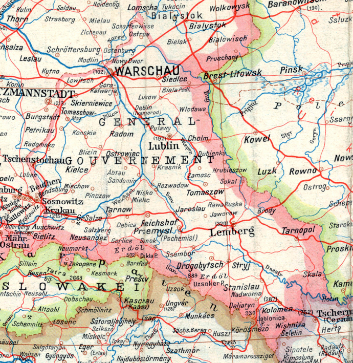
A part of a map of Europe printed by the O.K.H. in 1943.
1944 · Wikimedia Commons

April1944
Wikimedia Commons

OEF-map-6
1944 · Wikimedia Commons

German map of the Russian New Years Offensive in January 1916
1916 · Wikimedia Commons

OEF-map-5
1944 · Wikimedia Commons

Third Battle of Kharkov sector
Wikimedia Commons

1944 January the pocket west of Cherkassy
1952 · Wikimedia Commons
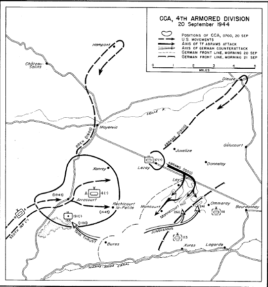
Arracourt 3
1944 · Wikimedia Commons