

Take Ichi convoy
Map showing the route of the Japanese Take Ichi convoy and the location of the United States submarine attacks on the convoy.
- Mapmaker / publisher
- Central Intelligence Agency *derivative work: Nick-D ( talk )
- Archive
- Wikimedia Commons
- Type
- map
- Original size
- 740 × 906 pixels
Public domain
Reason: a US government work (Central Intelligence Agency).
This status rests on the map's publication history, as researched by Wikimedia Commons. Check it before commercial use.
Read from: Commons licence category: PD CIA WF; no CC BY, CC BY-SA, GFDL or deletion tag on the file page.
Credit line
"Take Ichi convoy". Central Intelligence Agency *derivative work: Nick-D ( talk ), via Wikimedia Commons. Public domain. https://commons.wikimedia.org/wiki/File:Take_Ichi_convoy.jpgNeed maps for a whole project? Add Find Any Map to Claude and ask for this one by its id: 24174.
More like this

Pacific War - Dutch East Indies 1941-42 - Map
1941 · Wikimedia Commons

Pacific War - Southeast Asia 1941 - Map
1941 · Wikimedia Commons

1945 Pacific Japanese Control
1945 · Wikimedia Commons
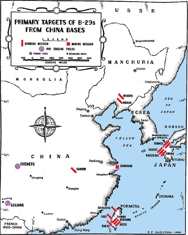
B-29 targets from China
1951–1953 · Wikimedia Commons
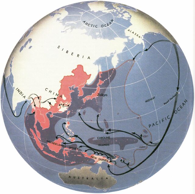
Map shows Allied attack routes against Japan in World War II
1945 · Wikimedia Commons
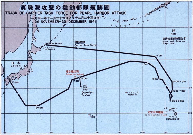
Map of Pearl Harbor attack force
1966 · Wikimedia Commons

The Last Sortie of Yamato - track via USSBS-ar
October 25, 2019 · Wikimedia Commons

Mappa Forza Z
1941 · Wikimedia Commons