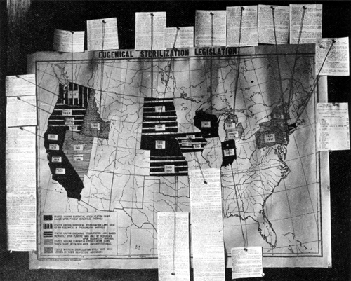

Sterilization states
- Date
- 1921
- Place
- the United States
- Archive
- Wikimedia Commons
- Type
- map
- Original size
- 500 × 401 pixels
Public domain
Reason: its maker died long enough ago that the copyright has expired.
This status rests on the map's publication history, as researched by Wikimedia Commons. Check it before commercial use.
Read from: Commons licence category: PD Old; no CC BY, CC BY-SA, GFDL or deletion tag on the file page.
Credit line
"Sterilization states" (1921). Wikimedia Commons. Public domain. https://commons.wikimedia.org/wiki/File:Sterilization_states.jpgNeed maps for a whole project? Add Find Any Map to Claude and ask for this one by its id: 296279.
More like this

MAP OF THE UNITED STATES
1913–1917 · Library of Congress

Non-Native American Nations Control over N America 1921
2009 · Wikimedia Commons

1921 BERy system map
1921 · Wikimedia Commons

Maps and Charts - All States
U.S. National Archives

Aerial survey, Manhattan Island, New York City
1921 · Library of Congress

Corps areas with corps mobilization responsibilities, 1921
2010 · Wikimedia Commons

Washington, District of Columbia
1921 · Library of Congress

United States exploration routes 1501-1844
1501 · Library of Congress