

State of Louisiana; base map. Compiled in 1966.
Scale 1:1,000,000; 1 in. equals approx. 16 miles. Relief shown by spot heights. "Lambert conformal conic projection based on standard parallels 33⁰ and 45⁰. 1927 North American datum."
- Date
- 1968
- Mapmaker / publisher
- Geological Survey (U.S.)
- Place
- Louisiana
- Scale
- 1:1,000,000
- Archive
- Library of Congress (via Wikimedia Commons)
- Type
- map
- Original size
- 6,707 × 6,205 pixels
Public domainsafest
Reason: a US government work.
Read from: Commons licence category: PD US Government; no CC BY, CC BY-SA, GFDL or deletion tag on the file page.
Credit line
"State of Louisiana; base map. Compiled in 1966." (1968). Geological Survey (U.S.). Library of Congress, Geography and Map Division, via Wikimedia Commons. Public domain. https://commons.wikimedia.org/wiki/File:State_of_Louisiana;_base_map._Compiled_in_1966._LOC_gm69000272.jpgNeed maps for a whole project? Add Find Any Map to Claude and ask for this one by its id: 119050.
More like this

Transportation map of Louisiana.
1975 · Library of Congress

Transportation map of Louisiana.
1975 · Library of Congress

Potential projects, compiled as of 4-1-84, Louisiana statewide study
1984 · Library of Congress
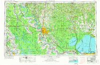
Baton Rouge, Louisiana: USGS topographic map, 1:250,000 (1954–1962)
1954–1962 · 5 editions

Study area, watersheds and management units of the Lafourche-Terrebonne cooperative river basin study, Lafourche and Terrebonne parishes, Louisiana
1985 · Library of Congress
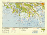
New Orleans, Louisiana: USGS topographic map, 1:250,000 (1945–1966)
1945–1966 · 6 editions
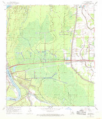
Lottie, Louisiana: USGS topographic map, 1:24,000 (1968)
1968 · 2 editions
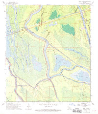
Butte La Rose, Louisiana: USGS topographic map, 1:24,000 (1968–1999)
1968–1999 · 5 editions