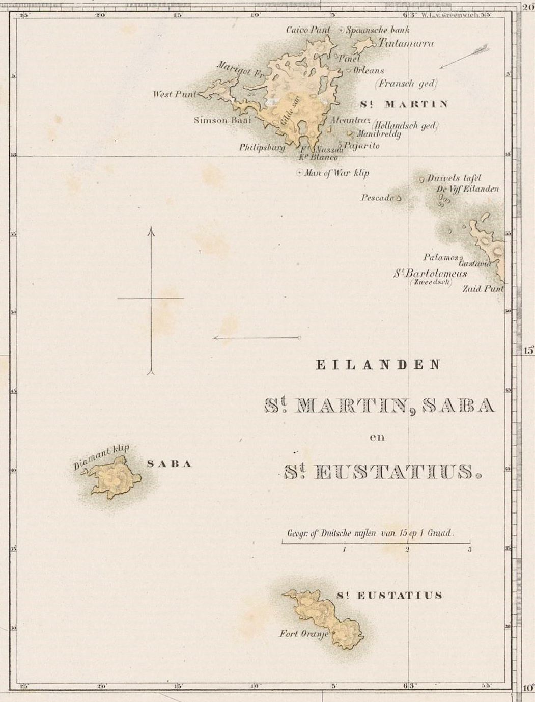

St Martin, Saba, St Eustatius (map)
- Date
- 1860–1862
- Mapmaker / publisher
- Rijksmuseum
- Place
- islands in the Rijksmuseum Amsterdam
- Archive
- Wikimedia Commons
- Type
- map
- Original size
- 1,051 × 1,378 pixels
CC0safest
Reason: CC0: dedicated to the public domain.
Read from: Commons licence category: CC-Zero; no CC BY, CC BY-SA, GFDL or deletion tag on the file page.
Credit line
"St Martin, Saba, St Eustatius (map)" (1860–1862). Rijksmuseum, via Wikimedia Commons. CC0. https://commons.wikimedia.org/wiki/File:St_Martin,_Saba,_St_Eustatius_(map).jpegNeed maps for a whole project? Add Find Any Map to Claude and ask for this one by its id: 295594.
More like this

Kaart van de Nederlandse Antillen Generale verzamelkaart der Nederlandsche Westindische Bezittingen (titel op object), NG-1064-10 (cropped2)
1860–1862 · Wikimedia Commons

Kaart van de Nederlandse Antillen Generale verzamelkaart der Nederlandsche Westindische Bezittingen (titel op object), NG-1064-10
1860–1862 · Hispaniola

Kaart van de Nederlandse Antillen Generale verzamelkaart der Nederlandsche Westindische Bezittingen (titel op object), NG-1064-10 (cropped3)
1860–1862 · Wikimedia Commons

Kaart van de Nederlandse Antillen Generale verzamelkaart der Nederlandsche Westindische Bezittingen (titel op object), NG-1064-10 (cropped4)
1860–1862 · Wikimedia Commons

Iles de St. Eustatius, Saba et St. Martin
Wikimedia Commons

RADERS(1863) Map of St. Martin
1863 · Wikimedia Commons

NL-HaNA 4.MIKO 339-groot
1700–1800 · Wikimedia Commons

Schets Kaart van de Kolonie Suriname of Ned.sche Guiana (titel op object), NG-1064-1
1860–1862 · Wikimedia Commons