

St John's Lodge Regent's Park from 1833 Schmollinger map
1833 map of the Inner Circle of Regents Park shows St. John's Lodge on the outside perimeter at about one o'clock and The Holme at about ten o'clock. The inside of the Inner Circle is labeled "Jenkins Nursery". Source: section of "Improved map of London for 1833, from Actual Survey. Engraved by W. Schmollinger, 27 Goswell Terrace", photographed for Wikipedia. All rights of the photographer in this image are hereby released.
- Date
- April 13, 2009
- Place
- Regent's Park
- Archive
- Wikimedia Commons
- Type
- map
- Original size
- 763 × 518 pixels
Public domain
Reason: public domain: user.
This status rests on the map's publication history, as researched by Wikimedia Commons. Check it before commercial use.
Read from: Commons licence category: PD-user; no CC BY, CC BY-SA, GFDL or deletion tag on the file page.
Credit line
"St John's Lodge Regent's Park from 1833 Schmollinger map" (April 13, 2009). Wikimedia Commons. Public domain. https://commons.wikimedia.org/wiki/File:St_John%27s_Lodge_Regent%27s_Park_from_1833_Schmollinger_map.jpgNeed maps for a whole project? Add Find Any Map to Claude and ask for this one by its id: 293107.
More like this

Regent's Park London from 1833 Schmollinger map
1833 · Wikimedia Commons

Hyde Park London from 1833 Schmollinger map
1833 · Wikimedia Commons

Plan of Regent's Park 1826
1826 · Wikimedia Commons
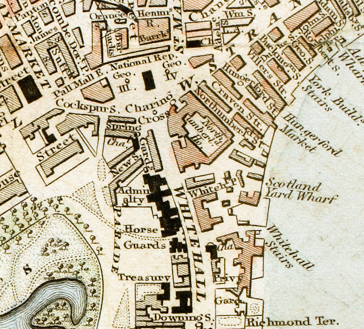
Charing Cross London from 1833 Schmollinger map
March 31, 2008 · Wikimedia Commons

Regent's Park 1830
1830 · Wikimedia Commons

Detail showing Battersea Park from "A Map of London made from an actual survey in the years 1824, 1825 & 1826
1830 · 1830londonSW

Plan of the Regent's Park by John Cleghorn
1840 · Wikimedia Commons

Plan of the Regent's Park - Shepherd, Metropolitan Improvements (1828), p346
1828 · Plate 346