

St James's Square 1799
- Date
- 1799
- Place
- London
- Archive
- Wikimedia Commons
- Type
- map
- Original size
- 896 × 1,073 pixels
Public domainsafest
Reason: public domain: scan (PD-old-100).
Read from: Commons licence category: PD-scan (PD-old-100); no CC BY, CC BY-SA, GFDL or deletion tag on the file page.
Credit line
"St James's Square 1799" (1799). Wikimedia Commons. Public domain. https://commons.wikimedia.org/wiki/File:St_James%27s_Square_1799.jpgNeed maps for a whole project? Add Find Any Map to Claude and ask for this one by its id: 291732.
More like this
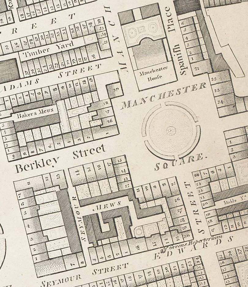
Manchester Square 1799 edited
1799 · Wikimedia Commons

Whitehall1799
Wikimedia Commons

FutureCambridgeHouse1799 edited
Wikimedia Commons

ChesterfieldHouse1799
Wikimedia Commons

The Parish of St James's Westminster, taken from the last Survey, with Corrections
1720 · BM Heal,Topography.202

A Mapp of the Parish of St Anns taken from the last Survey, with corrections, and additions
1720 · BM Heal,Topography.199

Horwood Great Portland Street circa 1793
1792–1799 · Wikimedia Commons

The Limehouse end of the Limehouse Cut c.1800
1799 · Wikimedia Commons