

Soil Map, Kiowa County, Oklahoma
- Date
- 1931
- Mapmaker / publisher
- United States. Bureau Of Chemistry And Soils
- Place
- North America
- Archive
- Library of Congress (via Wikimedia Commons)
- Type
- map
- Original size
- 13,583 × 11,735 pixels
Public domain
Reason: its maker died more than 80 years ago.
This status rests on the map's publication history, as researched by Wikimedia Commons. Check it before commercial use.
Read from: Commons licence category: PD-old-80-expired; no CC BY, CC BY-SA, GFDL or deletion tag on the file page.
Credit line
"Soil Map, Kiowa County, Oklahoma" (1931). United States. Bureau Of Chemistry And Soils. Library of Congress, Geography and Map Division, via Wikimedia Commons. Public domain. https://commons.wikimedia.org/wiki/File:Soil_Map,_Kiowa_County,_Oklahoma_LOC_2010587906.jpgNeed maps for a whole project? Add Find Any Map to Claude and ask for this one by its id: 118659.
More like this
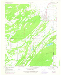
Kiowa, Oklahoma: USGS topographic map, 1:24,000 (1967)
1967 · 2 editions
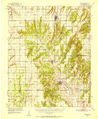
Binger, Oklahoma: USGS topographic map, 1:62,500 (1951)
1951 · 3 editions

Project map, Otter Creek watershed - Comanche, Kiowa, and Tillman counties, Oklahoma
1992 · Library of Congress
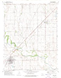
Kiowa, Kansas: USGS topographic map, 1:24,000 (1972)
1972 · USGS Historical Topographic Map Collection
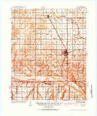
Geary, Oklahoma: USGS topographic map, 1:62,500 (1942)
1942 · 3 editions
McComb, Oklahoma: USGS topographic map, 1:62,500 (1910)
1910 · 2 editions
Cache, Oklahoma: USGS topographic map, 1:48,000 (1937)
1937 · USGS Historical Topographic Map Collection
Dill City, Oklahoma: USGS topographic map, 1:62,500 (1957)
1957 · 3 editions