

Site drawing for the 1851 Great Exhibition architectural competition
- Date
- 1850–1851
- Place
- London
- Archive
- Wikimedia Commons
- Type
- map
- Original size
- 972 × 309 pixels
Public domain
Reason: its maker died long enough ago that the copyright has expired.
This status rests on the map's publication history, as researched by Wikimedia Commons. Check it before commercial use.
Read from: Commons licence category: PD Old; no CC BY, CC BY-SA, GFDL or deletion tag on the file page.
Credit line
"Site drawing for the 1851 Great Exhibition architectural competition" (1850–1851). Wikimedia Commons. Public domain. https://commons.wikimedia.org/wiki/File:Site_drawing_for_the_1851_Great_Exhibition_architectural_competition.jpgNeed maps for a whole project? Add Find Any Map to Claude and ask for this one by its id: 291842.
More like this

Plan of Estates purchased by Her Majesty's Commissioners for the Exhibition of 1851
1851 · Wikimedia Commons

The Crystal Palace grounds
1862 · Wikimedia Commons

AmCyc Park - Map of Hyde Park and Kensington Gardens
1879 · Wikimedia Commons

drawing, map
1856 · Wikimedia Commons

Knightsbridge showing the Halfway House. One of the lithographs from 15 drawings which were reprinted as 30 lithographic plates, numbered from 1 to 15a with each measuring 610 x 686 mm (24 inches to 2
1811 · Wikimedia Commons
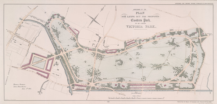
Victoria Park proposal 1841
1841 · Wikimedia Commons

drawing, map
1861 · Wikimedia Commons

Hand Coloured Map Descriptive of London Poverty 1898-1899 Sheet 74 - Kensington, Hyde Park, Kensington Gardens, (Knight's Bridge)
1894–1899 · Wikimedia Commons