
Sheet No. 51 Includes Island of Meadows, Fresh Kills and Arthur Kill.; Atlases of New York city. / Borough of Richmond, Topographical Survey.
- Date
- 1906–1913
- Place
- the United States
- Archive
- Wikimedia Commons
- Type
- map
- Original size
- 7,230 × 5,428 pixels
CC0safest
Reason: CC0: dedicated to the public domain.
Read from: Commons licence category: CC-Zero; no CC BY, CC BY-SA, GFDL or deletion tag on the file page; permission field: From The Lionel Pincus and Princess Firyal Map Division..
Credit line
"Sheet No. 51 Includes Island of Meadows, Fresh Kills and Arthur Kill.; Atlases of New York city. / Borough of Richmond, Topographical Survey." (1906–1913). Wikimedia Commons. CC0. https://commons.wikimedia.org/wiki/File:Sheet_No._51_(Includes_Island_of_Meadows,_Fresh_Kills_and_Arthur_Kill.)_NYPL1531762.tiffNeed maps for a whole project? Add Find Any Map to Claude and ask for this one by its id: 294208.
More like this

Sheet No. 74. Includes Rossville, Fresh Kills Road, Winant Avenue, Pleasant Avenue and Guyon Avenue.; Atlases of New York city. / Borough of Richmond, Topographical Survey.
1906–1913 · Wikimedia Commons

Sheet No. 40. Includes Dongan Hills, Fingerboard Road, Richmond Road, Duncan Street, Oakdale Avenue, (Emerson Hill, Old Town)Linden Park.; Atlases of New York city. / Borough of Richmond, Topographica
1906–1913 · Wikimedia Commons
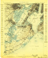
Staten Island, New Jersey: USGS topographic map, 1:62,500 (1898–1900)
1898–1900 · 11 editions
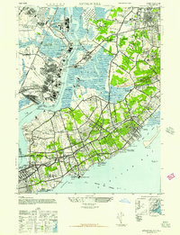
Arthur Kill, New York: USGS topographic map, 1:24,000 (1947–1966)
1947–1966 · 7 editions

Map of marsh lots 10, 11, 12, 13, 14, and 15 at Rockaway Beach, borough of Queens, city of New York, N.Y.
1907 · Library of Congress
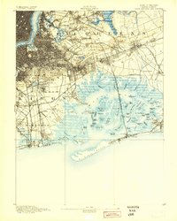
Brooklyn, New York: USGS topographic map, 1:62,500 (1889–1900)
1889–1900 · 17 editions

Topographical map made from surveys by the commissioners of the Department of Public Parks of the city of New York of that part of Westchester County adjacent to the City and County of New York
1874 · Library of Congress

Blackwell's, Ward's and Randall's islands and adjacent shores of East and Harlem rivers from 51st St. New York to Lawrence's Pt.
1885 · Library of Congress