

Selma, Al'a., and vicinity
Shows fortifications. Relief shown by hachures. Printed on blue paper. Mounted on paper. In pencil in top right hand corner: 1864, 61. Pencil notes in right margin. ), S17, 111 Includes text.
- Date
- 1864
- Mapmaker / publisher
- Ruger, Edward
- Place
- Alabama
- Archive
- Library of Congress (via Wikimedia Commons)
- Type
- map
- Original size
- 7,003 × 4,690 pixels
Public domainsafest
Reason: its maker died more than 100 years ago.
Read from: Commons licence category: PD-old-100-expired; no CC BY, CC BY-SA, GFDL or deletion tag on the file page.
Credit line
"Selma, Al'a., and vicinity" (1864). Ruger, Edward. Library of Congress, Geography and Map Division, via Wikimedia Commons. Public domain. https://commons.wikimedia.org/wiki/File:Selma,_Al%27a.,_and_vicinity_LOC_2004626932.jpgNeed maps for a whole project? Add Find Any Map to Claude and ask for this one by its id: 118240.
More like this
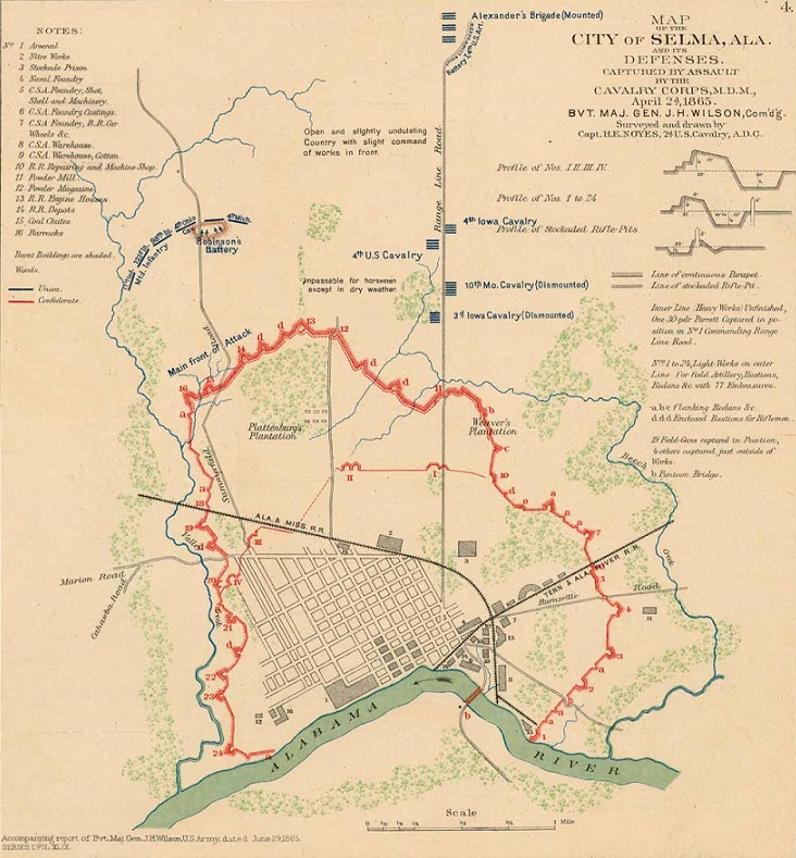
Map of the City of Selma, Alabama and its defenses.
1900 · Wikimedia Commons

Plan of fortifications at Columbus, Ga.
1864 · Library of Congress

Atlanta & vicinity - compiled from state map and information
1864 · Library of Congress

Map of Macon, Ga. and vicinity.
1864 · Library of Congress

Plan of fortifications at Augusta, Ga.
1864 · Library of Congress

Copy of section of photograph map captured from the enemy, showing country adjacent to Richmond and lines of defensive works surrounding the city.
1864 · United States. Army Of The James

Rebel line of works at Blakely captured by the Army of West Miss., April 9, 1865
1865 · Library of Congress

Copy of section of photograph map captured from the enemy, showing country adjacent to Richmond and lines of defensive works surrounding the city.
1864 · United States. Army Of The Potomac. Engineer Department