

Scan of map from Ortelius "Parergon" published in 1624.
- Date
- 1624
- Place
- the Mediterranean Sea
- Archive
- Wikimedia Commons
- Type
- map
- Original size
- 3,188 × 2,278 pixels
Public domainsafest
Reason: its maker died more than 100 years ago.
Read from: Commons licence category: PD-old-100-expired; no CC BY, CC BY-SA, GFDL or deletion tag on the file page; permission field: Domaine public..
Credit line
"Scan of map from Ortelius "Parergon" published in 1624." (1624). Wikimedia Commons. Public domain. https://commons.wikimedia.org/wiki/File:MapoftheVoyageoftheArgonauts.jpgNeed maps for a whole project? Add Find Any Map to Claude and ask for this one by its id: 235335.
More like this

MapoftheVoyageoftheArgonauts Black Sea
1624 · Wikimedia Commons
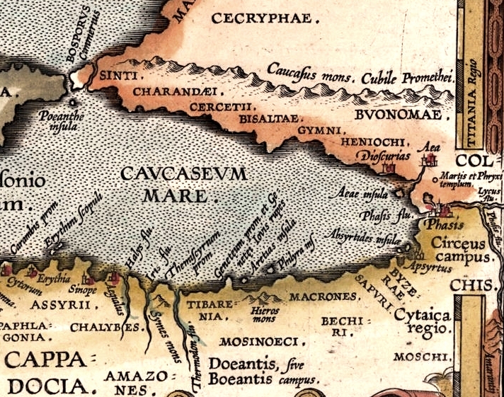
MapoftheVoyageoftheArgonauts Caucasus
1624 · Wikimedia Commons

Argonavtica / Petrus Kaerius caelavit aetatis suae 74
1652 · Wikimedia Commons

Pontus Euxinus
Wikimedia Commons

Ortelius’ map of the Black Sea
1590–1624 · Wikimedia Commons

Basic cartouche on a Black Sea map by Ortelius
1590–1624 · Wikimedia Commons

The Punic text from the Periplus of Hanno describing Hanno of Carthage's journey beyond the Pillars of Hercules (Strait of Gibraltar) and the establishment of the cities shown on this inset map can be found here
1624 · Wikimedia Commons

Tiny shipwrecks dot the Aegean - to get a sense of the detailed engraving work consider that the tiny ship at bottom measures just 12 mm from the top of its mainmast to the waterline
1624 · Wikimedia Commons