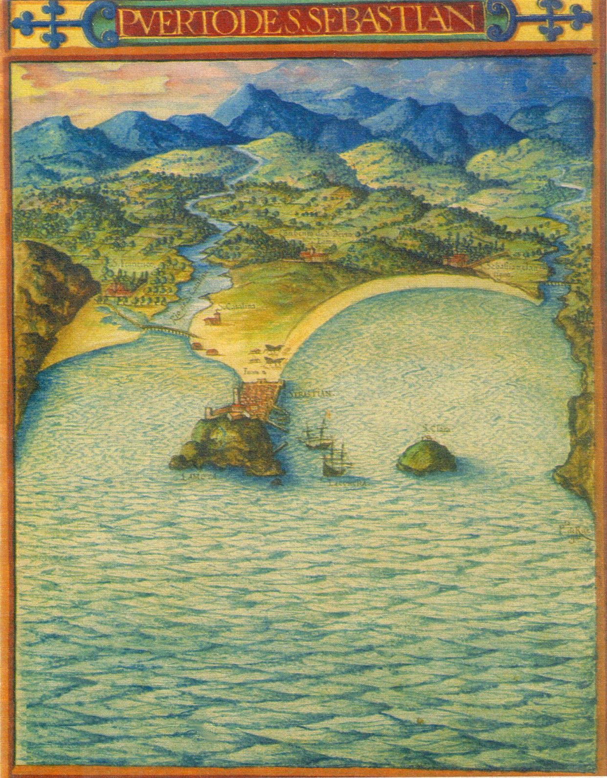

San Sebastian s. XVII
Cartografía de San Sebastián (España)
- Date
- 1622
- Mapmaker / publisher
- Pedro Texeira (digitalizado por generalpoteito)
- Archive
- Wikimedia Commons
- Type
- map
- Original size
- 1,241 × 1,591 pixels
Public domainsafest
Reason: its maker died more than 100 years ago, and a faithful scan of a flat work adds no new copyright.
Read from: Commons licence category: PD-Art (PD-old-100); no CC BY, CC BY-SA, GFDL or deletion tag on the file page; permission field: Ver licencia.
Credit line
"San Sebastian s. XVII" (1622). Pedro Texeira (digitalizado por generalpoteito), via Wikimedia Commons. Public domain. https://commons.wikimedia.org/wiki/File:San_Sebastian_s._XVII.jpgNeed maps for a whole project? Add Find Any Map to Claude and ask for this one by its id: 141651.
More like this

Cartagena 1634
1634 · Wikimedia Commons

Santander by Braun Hogenberg
1575 · Wikimedia Commons

GijonsigloXVII
1634 · Wikimedia Commons

Gezicht op San Sebastián, BI-1956-1074-102
1572 · Wikimedia Commons

De praecipvis totivs vniversi vrbibvs, liber secvndvs
Wikimedia Commons

Burgos celebris et antiqua Hispaniaecivitas quae Auea, Braumm, Masburgi, Licontinitiurgis, nomina habet; Sanct. Sebastianum vulgo Donostien ad mare Oceanum insigne regni Guipuzcoa oppidum
1645 · Plate 1 of 2

Planta da Restituição da BAHIA, por João Teixeira Albernaz, capitania de Portugal
1631 · Wikimedia Commons

Map of the Spanish Port in Jilong, Taiwan, 1626
1626 · Wikimedia Commons