

San Juan, P.R., North, from Hotel Palace.
Photograph.
- Date
- 1922
- Mapmaker / publisher
- Cook, F. E
- Archive
- Library of Congress (via Wikimedia Commons)
- Type
- map
- Original size
- 11,808 × 2,352 pixels
Public domainsafest
Reason: its maker died more than 80 years ago.
Read from: Commons licence category: PD-old-80-expired; no CC BY, CC BY-SA, GFDL or deletion tag on the file page.
Credit line
"San Juan, P.R., North, from Hotel Palace." (1922). Cook, F. E. Library of Congress, Geography and Map Division, via Wikimedia Commons. Public domain. https://commons.wikimedia.org/wiki/File:San_Juan,_P.R.,_North,_from_Hotel_Palace._LOC_98687144.jpgNeed maps for a whole project? Add Find Any Map to Claude and ask for this one by its id: 137369.
More like this

General view of harbor at San Juan, Porto Rico looking South.
1927 · United States. Army. Corps Of Engineers

General view of harbor at San Juan, Porto Rico looking South
1927 · US Army Corps of Engineers

Map of the port of San Juan, Puerto Rico.
1894 · Library of Congress
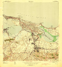
San Juan, Puerto Rico: USGS topographic map, 1:30,000 (1941–1949)
1941–1949 · 7 editions
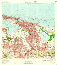
San Juan, Puerto Rico: USGS topographic map, 1:20,000 (1957–1969)
1957–1969 · 5 editions

The island of Puerto Rico, from the bay side, in the West Indies. // The island of Puerto Rico, from the sea, in the West Indies.
1721 · Wikimedia Commons

Plano de la ciudad de S. Juan de Puerto Rico.
1770 · Library of Congress

San Juan de Puerto Rico a fines del siglo XVI
1897 · Wikimedia Commons