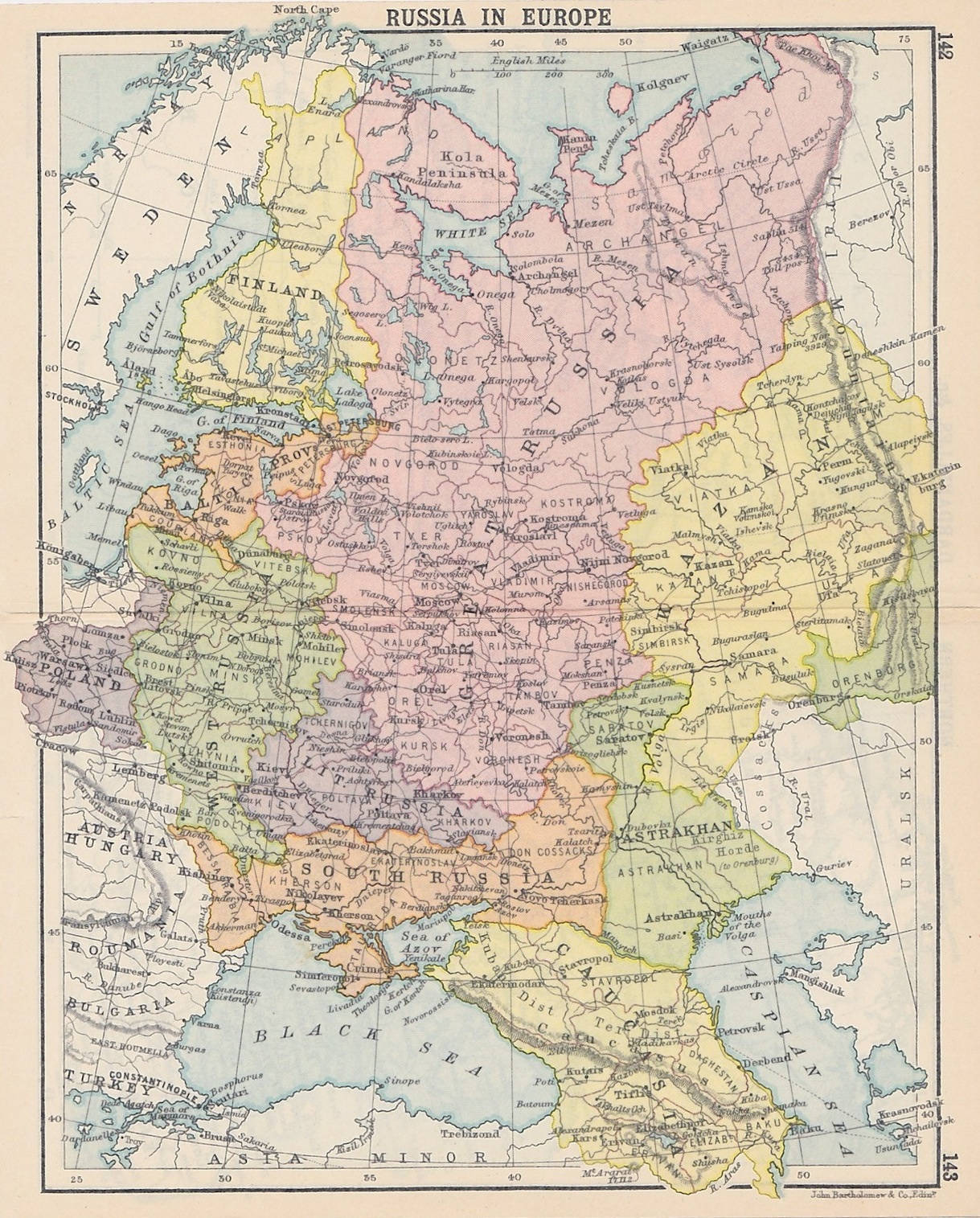

Russia in Europe
- Date
- 1890
- Mapmaker / publisher
- John Bartholomew
- Place
- Russia
- Archive
- Wikimedia Commons
- Type
- map
- Original size
- 1,219 × 1,515 pixels
Public domainsafest
Reason: its maker died more than 70 years ago.
Read from: Commons licence category: PD-old-70-expired; no CC BY, CC BY-SA, GFDL or deletion tag on the file page.
Credit line
"Russia in Europe" (1890). John Bartholomew, via Wikimedia Commons. Public domain. https://commons.wikimedia.org/wiki/File:Russia_in_Europe.jpgNeed maps for a whole project? Add Find Any Map to Claude and ask for this one by its id: 241873.
More like this

Large scale map of Russia in Europe.
1918 · Library of Congress

19th century map of the Russian Empire and adjacent countriesː Turkey, Persia, Siberia, Turkestan and Afghanistan
Wikimedia Commons

Russia in Europe, Sweden, and Norway; Map of Denmark; Map of Holland and Belgium.
1863 · New York Public Library

Russian Empire - European part, 1825
1825 · Wikimedia Commons

Russia in empire.
1910 · Library of Congress

Stielers Handatlas 1891 43
1891 · Wikimedia Commons

Kartogramma "grippa", okti︠a︡brʹ 1889-mart 1890 - (Rossīĭskai︠a︡ Imperīi︠a︡).
1890 · Library of Congress

Carte générale de la Russie d'Europe avec les parties limitrophes de l'Europe occidentale, de la Turquie, de la Perse, de la Sibérie et de l'Afghanistan.
Wikimedia Commons