

Routes of the barbarian invaders, 5th century AD-zh-classical
- Place
- Migration period
- Archive
- Wikimedia Commons
- Type
- map
- Original size
- 624 × 575 pixels
Public domainsafest
Reason: a US government work.
Read from: Commons licence category: PD US Government; no CC BY, CC BY-SA, GFDL or deletion tag on the file page.
Credit line
"Routes of the barbarian invaders, 5th century AD-zh-classical". Wikimedia Commons. Public domain. https://commons.wikimedia.org/wiki/File:Routes_of_the_barbarian_invaders,_5th_century_AD-zh-classical.pngNeed maps for a whole project? Add Find Any Map to Claude and ask for this one by its id: 246151.
More like this

Europe Barbarian Migrations (Johnston)
1888–1897 · Wikimedia Commons

T.V.(1857) - (3) MAPA DE LA IRRUPCION DE LOS BÂRBAROS
1857 · Wikimedia Commons

C. 150-1066 Germanic Migrations
c. 1911 · Wikimedia Commons

C. 526 Germanic Kingdoms
c. 1911 · Wikimedia Commons

Europe on the eve of the Invasions (Atlas of European history, 1909)
January 19, 2012 · Wikimedia Commons

450 roman-hunnic-empire 1764x1116
1911 · Wikimedia Commons

F.W. Putzgers Historischer Schul-Atlas: zur alten, mittleren und neuen Geschichte: in 66 Haupt- und 63 Nebenkarten
Wikimedia Commons
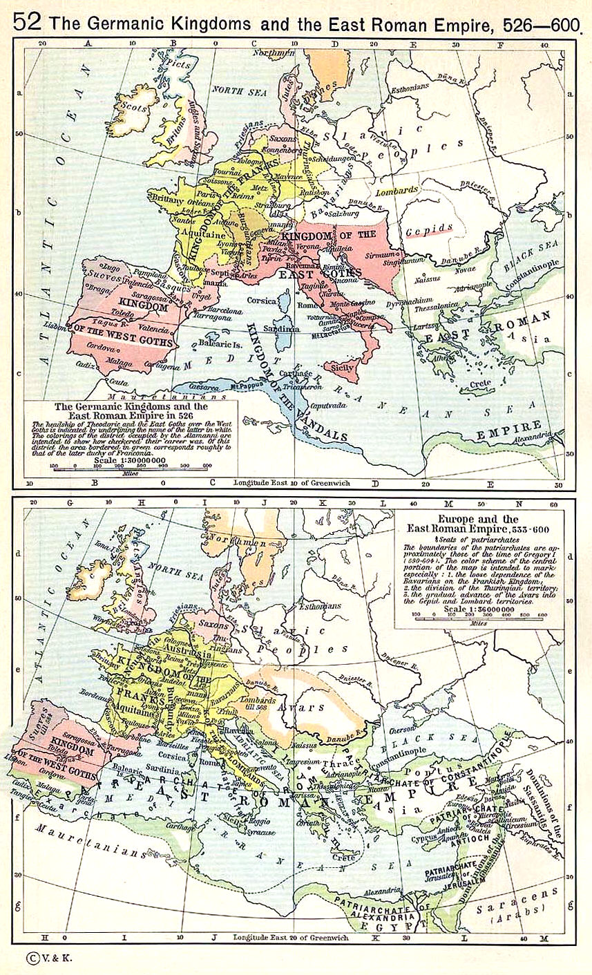
Shepherd 526-600
Wikimedia Commons