

Rose Atoll NOAA chart
NOAA Nautical chart of Rose Atoll, American Samoa
- Date
- 2006
- Mapmaker / publisher
- NOAA
- Place
- American Samoa
- Archive
- Wikimedia Commons
- Type
- chart
- Original size
- 1,211 × 1,275 pixels
Public domainsafest
Reason: a US government work (NOAA).
Read from: Commons licence category: PD US NOAA; no CC BY, CC BY-SA, GFDL or deletion tag on the file page.
Credit line
"Rose Atoll NOAA chart" (2006). NOAA, via Wikimedia Commons. Public domain. https://commons.wikimedia.org/wiki/File:Rose_Atoll_NOAA_chart.jpgNeed maps for a whole project? Add Find Any Map to Claude and ask for this one by its id: 294913.
More like this

Kingman Reef NOAA chart
2008 · Wikimedia Commons
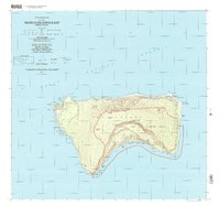
Manua Islands East, American Samoa: USGS topographic map, 1:24,000 (2001)
2001 · USGS Historical Topographic Map Collection
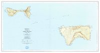
Manua Islands, American Samoa: USGS topographic map, 1:24,000 (1963)
1963 · 3 editions

Hermit Island, Carola Bay, Nautical Map
1949 · Wikimedia Commons

Conway Reef 1901 (Ceva-i-Ra) Nautical Chart
1901 · Wikimedia Commons
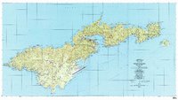
Tutuila Island, American Samoa: USGS topographic map, 1:24,000 (1989)
1989 · 2 editions

nautical chart of Pinipel Atoll, Green Islands, Bismarck Archipelago, Papua New Guinea
1944 · Wikimedia Commons

Raivavae 1944 nautical chart
1944 · Wikimedia Commons