

Roll-rich Stones
A depiction of the Rollright Stones from the figures decorating the margins of Moll's map of Oxfordshire, sold separately and as Map 15 in his Set of Fifty New and Correct Maps of England and Wales. Notes: London: Sold by H. Moll over-against Devereux-Court in the Strand; Tho. Bowles, Print and Map-Seller near the Chapter-House in St. Paul's Church-Yard, and J. Bowles Print and Map-Seller over-against Stocks-Market. 1724.
- Date
- 1724
- Archive
- Wikimedia Commons
- Type
- map
- Original size
- 646 × 309 pixels
Public domainsafest
Reason: its US copyright has expired (published before 1931).
Read from: Commons licence category: PD US expired; no CC BY, CC BY-SA, GFDL or deletion tag on the file page.
Credit line
"Roll-rich Stones" (1724). Wikimedia Commons. Public domain. https://commons.wikimedia.org/wiki/File:Rolle-rich_Stones.jpgNeed maps for a whole project? Add Find Any Map to Claude and ask for this one by its id: 244941.
More like this

A British Monument call'd Kitts Coty House near Maidstone
1724 · Wikimedia Commons

A Prospect of Stone Henge from the West
1724 · Wikimedia Commons

A Prospect of Stone Henge from the South
1724 · Wikimedia Commons

Oxford Shire by Herman Moll Geographer
1724 · Wikimedia Commons

Wilt Shire by Her. Moll Geographer
1724 · Wikimedia Commons

The Bridge of Blenheim
1724 · Wikimedia Commons
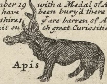
A depiction of a statue of an animal or monster discovered in 1714 in the Southbroom Hoard near Devizes, Wiltshire, from the figures decorating the margins of Moll's map of "Wilt Shire" (Wiltshire), t
1724 · Wikimedia Commons

The Royal Observatory at Greenwich
1724 · Wikimedia Commons