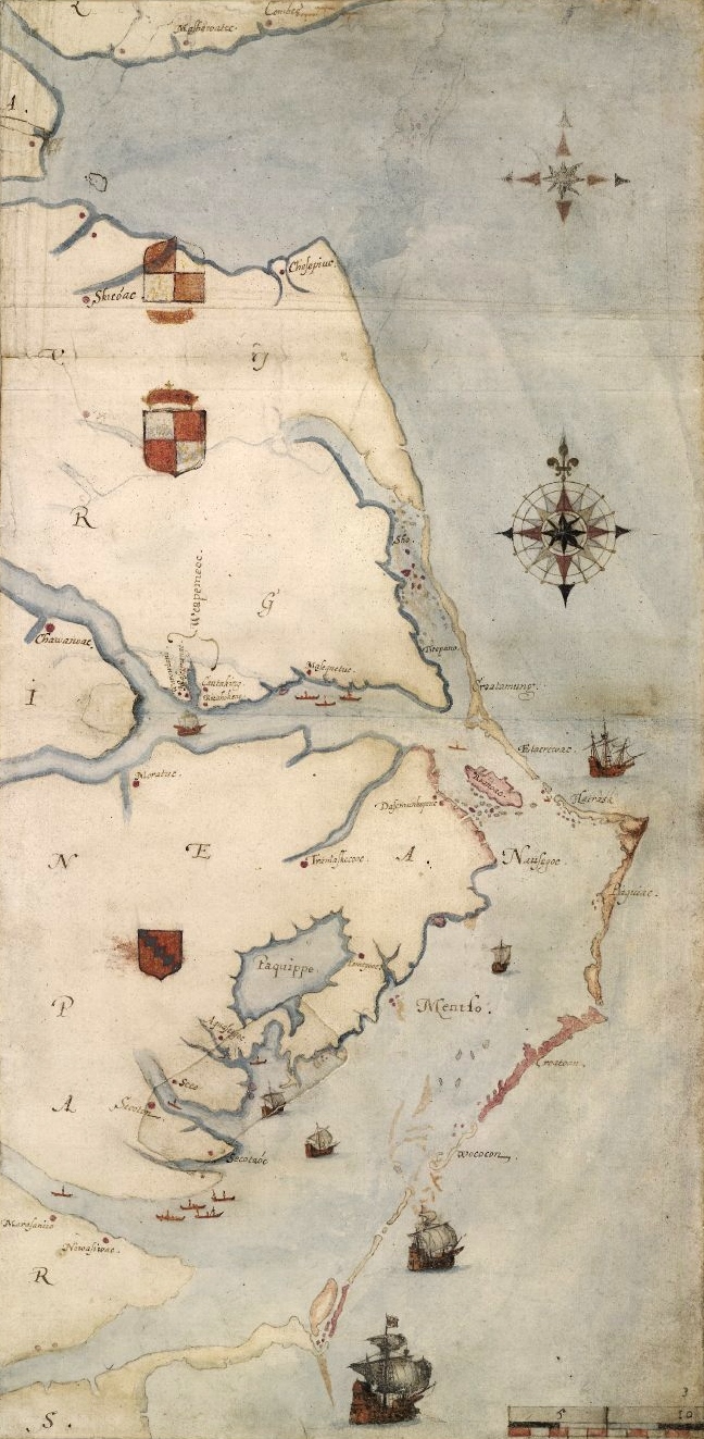

Roanoke map 1584
1585 map of the east coast of North America from the Chesapeake Bay to Cape Lookout by John White.
- Date
- 1585–1593
- Place
- the United States
- Archive
- Wikimedia Commons
- Type
- map
- Original size
- 648 × 1,323 pixels
Public domainsafest
Reason: its maker died more than 100 years ago.
Read from: Commons licence category: PD-old-100-expired; no CC BY, CC BY-SA, GFDL or deletion tag on the file page.
Credit line
"Roanoke map 1584" (1585–1593). Wikimedia Commons. Public domain. https://commons.wikimedia.org/wiki/File:Roanoke_map_1584.JPGNeed maps for a whole project? Add Find Any Map to Claude and ask for this one by its id: 293712.
More like this

drawing, print study, map
1585–1593 · Wikimedia Commons

drawing, map
1585–1593 · Wikimedia Commons

Map of northern la Florida 1584
1584 · Wikimedia Commons

Americæ pars, nunc Virginia dicta - primum ab Anglis inuenta, sumtibus Dn. Walteri Raleigh, Equestris ordinis Viri, Anno Dn̄i. MDLXXXV regni Vero Sereniss. nostræ Reginæ Elisabethæ XXVII, hujus vero
1590 · Library of Congress

Map of Atlantic Coast of North America from the Chesapeake Bay to Florida.
1639 · Library of Congress

John White - La Virginea Pars, map of the E coast of N America from Chesapeake bay to Cape Lookout, 1906,0509.1.3
1906 · Wikimedia Commons

Battle of Roanoke Island. American Civil War
1862–1865 · Wikimedia Commons

Reconnoissance (sic) of Cape Lookout shoals
1864 · Library of Congress