

Road map of the Boston district showing the metropolitan park system
Shows radial distances. Relief and depths shown by contours. Also shows bike routes in red. "4-05."
- Date
- 1905
- Mapmaker / publisher
- Geo. H. Walker & Co
- Place
- Boston and environs
- Archive
- Library of Congress (via Wikimedia Commons)
- Type
- map
- Original size
- 10,702 × 7,992 pixels
Public domainsafest
Reason: its maker died more than 100 years ago.
Read from: Commons licence category: PD-old-100-expired; no CC BY, CC BY-SA, GFDL or deletion tag on the file page.
Credit line
"Road map of the Boston district showing the metropolitan park system" (1905). Geo. H. Walker & Co. Library of Congress, Geography and Map Division, via Wikimedia Commons. Public domain. https://commons.wikimedia.org/wiki/File:Road_map_of_the_Boston_district_showing_the_metropolitan_park_system_LOC_88693304.jpgNeed maps for a whole project? Add Find Any Map to Claude and ask for this one by its id: 137197.
More like this

Boston and environs.
1905 · Library of Congress
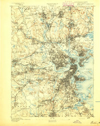
Boston, Massachusetts: USGS topographic map, 1:62,500 (1893–1903)
1893–1903 · 17 editions

Map of the city of Boston and vicinity.
1896 · Library of Congress

A Map of forty miles north, thirty miles west, and twentyfive miles south of Boston, including an accurate draft of the harbour and town.
1775 · Library of Congress
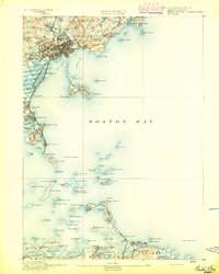
Boston Bay, Massachusetts: USGS topographic map, 1:62,500 (1892–1903)
1892–1903 · 13 editions

Bird's eye view of Boston Harbor and South Shore to Provincetown - showing steamboat routes.
1905 · Library of Congress

Map of Boston, 1888, published expressly for the Boston directory.
1888 · Library of Congress

Map of Boston and its vicinity
1820 · Library of Congress