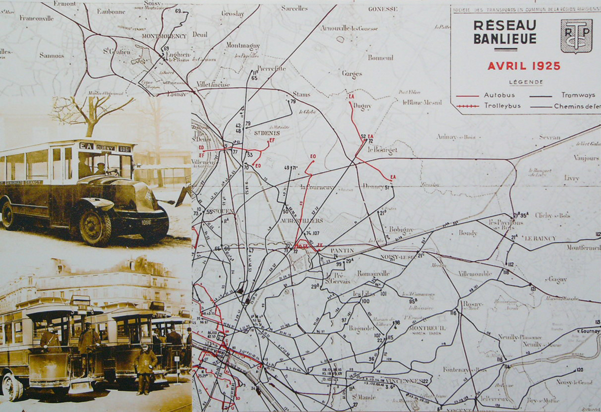

Réseau STCRP 1925
Plan du réseau STCRP en 1925
- Date
- 1925
- Mapmaker / publisher
- Cliché Claude Shoshany
- Place
- Seine-Saint-Denis
- Archive
- Wikimedia Commons
- Type
- map
- Original size
- 1,212 × 831 pixels
Public domain
Reason: its maker died long enough ago that the copyright has expired.
This status rests on the map's publication history, as researched by Wikimedia Commons. Check it before commercial use.
Read from: Commons licence category: PD Old; no CC BY, CC BY-SA, GFDL or deletion tag on the file page.
Credit line
"Réseau STCRP 1925" (1925). Cliché Claude Shoshany, via Wikimedia Commons. Public domain. https://commons.wikimedia.org/wiki/File:R%C3%A9seau_STCRP_1925.JPGNeed maps for a whole project? Add Find Any Map to Claude and ask for this one by its id: 299489.
More like this

Plan STCRP n°2 de 1923 (verso) Trams à Paris
1923 · Wikimedia Commons

STCRP Tramways Banlieue 1921
1921 · Wikimedia Commons

Plan des lignes de tramways et d'autobus de Paris. Nouveau plan de Paris avec toutes les lignes du Métropolitain et du Nord-Sud
1913 · Plate 2 of 2

Paris metro 192x
c. 1920 · Wikimedia Commons

Paris. Omnibus et tramways, offert gratuitement par la Compagnie Générale des Omnibus de Paris - Gallica
1914 · Imprimerie Charaire

Plan de Paris
1925 · Wikimedia Commons

Carte industrielle de la région parisienne, 1927 - Bibliothèques spécialisées Paris
1927 · Wikimedia Commons

Nouveau plan du Métropolitain et du Nord-Sud de Paris. Emplacements des agences de la Société générale dans Paris avec nouvelles lignes du Métropolitain et du Nord-Sud
1928 · Wikimedia Commons