

Relief map showing the British advance during the Battle of Messines and the Battles of Ypres 1917.
- Date
- 1917
- Mapmaker / publisher
- Gibbs, Philip, 1877-1962
- Archive
- Wikimedia Commons
- Type
- map
- Original size
- 531 × 506 pixels
Public domain
Reason: a US government work.
This status rests on the map's publication history, as researched by Wikimedia Commons. Check it before commercial use.
Read from: Commons licence category: PD US; no CC BY, CC BY-SA, GFDL or deletion tag on the file page.
Credit line
"Relief map showing the British advance during the Battle of Messines and the Battles of Ypres 1917." (1917). Gibbs, Philip, 1877-1962, via Wikimedia Commons. Public domain. https://commons.wikimedia.org/wiki/File:Relief_map_showing_the_British_advance_during_the_Battle_of_Messines_and_the_Battles_of_Ypres_1917..jpgNeed maps for a whole project? Add Find Any Map to Claude and ask for this one by its id: 22663.
More like this

British advances in September 1917, during the Battles of Ypres.
1919 · Wikimedia Commons

Sketch map of the Gheluvelt plateau during the Battles of Ypres 1917.
1919 · Wikimedia Commons

Messines area, 1917
1917 · Wikimedia Commons

Ypres area, Autumn, 1917
1917 · Wikimedia Commons
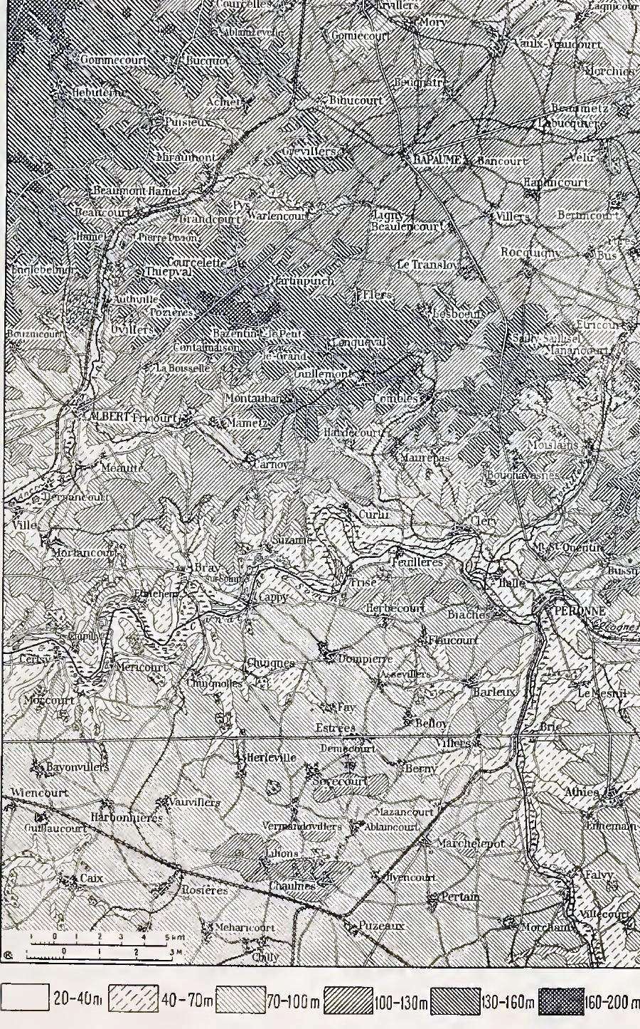
Somme relief map
Wikimedia Commons
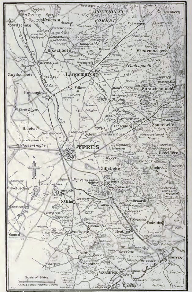
Ypres area,1917
1917 · Wikimedia Commons

Map of roads, towns and topography of area N-E of Ypres, centred on Frezenberg area, showing the Allied advances of September-October 1917 during the Third Battle of Ypres. This map shows the advance
1918 · Wikimedia Commons

The Dardanelles (relief map)
1915 · Wikimedia Commons