

Railway Map of Great Britain, 1915
from Baedeker's London and its Environs seventeenth edition (1915)
- Date
- 1915
- Mapmaker / publisher
- Karl Baedeker
- Archive
- Wikimedia Commons
- Type
- map
- Original size
- 3,456 × 4,608 pixels
Public domainsafest
Reason: its US copyright has expired (published before 1931).
Read from: Commons licence category: PD US expired; no CC BY, CC BY-SA, GFDL or deletion tag on the file page.
Credit line
"Railway Map of Great Britain, 1915" (1915). Karl Baedeker, via Wikimedia Commons. Public domain. https://commons.wikimedia.org/wiki/File:Railway_Map_of_Great_Britain,_1915.jpgNeed maps for a whole project? Add Find Any Map to Claude and ask for this one by its id: 292138.
More like this

Railway Map of Central London, 1915
1915 · Wikimedia Commons

Map of London, 1915
1915 · Wikimedia Commons

Map of London (Part 1 of 2), 1915
1915 · Wikimedia Commons

Map of London (Part 2 of 2), 1915
1915 · Wikimedia Commons
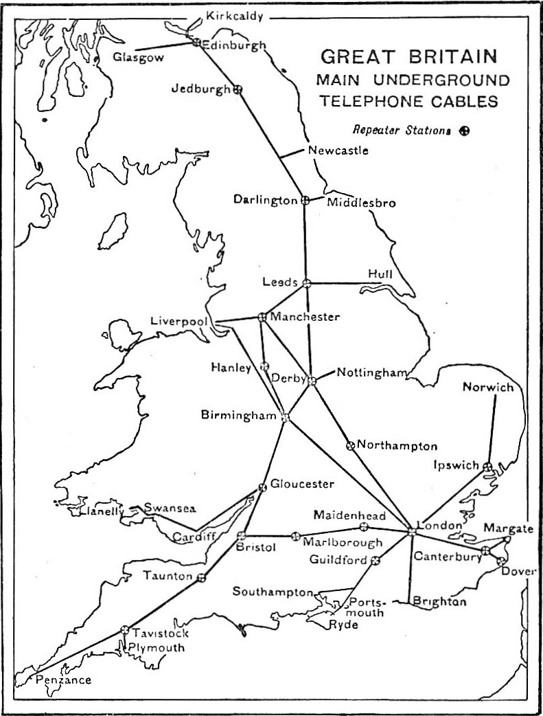
EB1922 Telephone - Great Britain - map of scheme for telephonic communication by means of underground cables and telephone repeaters
1922 · Wikimedia Commons

Map of "The West End from Baker Street to Soho," London, 1915
1915 · Wikimedia Commons

Philips'Railway map of the British Isles, with large scale inset maps of the principal industrial centres
1917 · Wikimedia Commons

Map of "The West End from Hyde Park and Belgravia to the Thames," London, 1915
1915 · Wikimedia Commons